
Capitol Reef National Park hiking guide
Grand Wash Trail
A 4.8-mile out-and-back with 210 ft of climbing in Fruita Historic District, rated easy.
Key facts
- Length
- 4.8 mi (7.7 km)
- Elevation gain
- 210 ft (65 m)
- Route type
- Out and back
- Difficulty
- Easy
- Area
- Fruita Historic District
- Highest point
- 5,421 ft
- Lowest point
- 5,204 ft
About Grand Wash Trail
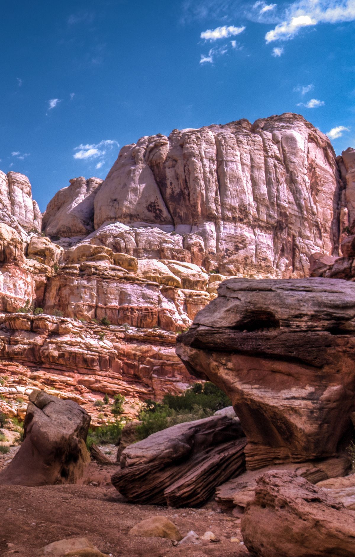
Cutting through the upper portion of the Waterpocket Fold, this gorge offers stunning views of towering canyon walls. The trail follows a wash, providing a flat and easy path through a landscape carved by ancient water flows. A highlight is the short but spectacular narrows section, reminiscent of a miniature Zion Narrows. The surrounding rock formations are honeycombed with holes, offering numerous spots for exploration and photography. The trail connects two main roads, allowing for either a round trip or a shuttle hike, making it accessible for various hiking preferences.
Route map
This route was checked by Parka editors.
