Congaree National Park guide · 1 min read
East-Side Trails: Fork Swamp and Bates Ferry
Fork Swamp Trail covers 0.6 miles and usually takes about 30 minutes, with a difficulty rating of easy to moderate.
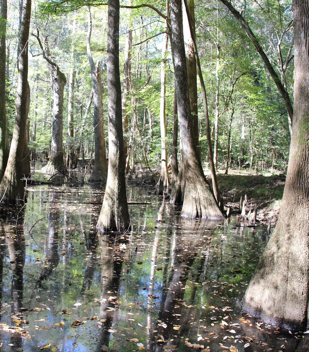
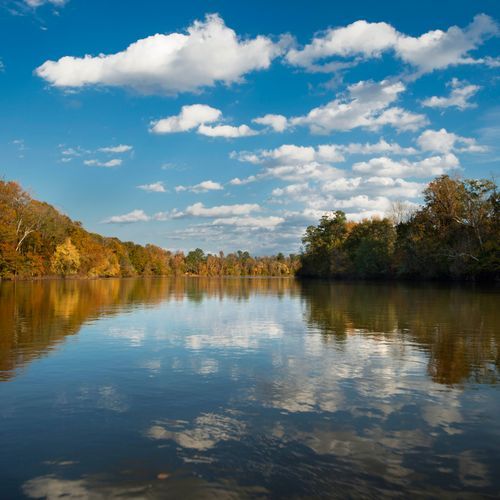
The path ends at the southern channel of Bates Old River, an oxbow lake that a hurricane produced in 1852. To reach the trailhead, turn off Highway 601 onto a short access road that carries no signs. At its far end, a small parking area and a National Park sign mark the start.
Bates Ferry Trail follows what is left of a former ferry road, and that road once reached the Congaree River. The walk is a broad, grassy track that runs 1.1 miles one way to a view of the water. Out and back, the route totals 2.2 miles, stays level throughout, and takes about an hour. It is a calmer choice than many of the park's trails.
Because the two trails lie near each other, they pair well on the east side. Adding a detour brings you to the General Greene Tree, one of the oldest trees in the park.
Most of the park sits on a floodplain, so the two east-side hikes are short and nearly flat, with only slight changes in elevation. Nearly all trails flood periodically. The exceptions include the raised section of the boardwalk and the Bluff, Firefly and Longleaf trails. Fork Swamp feels quick and easy only while the path stays dry and free of mud. Crayfish mounds show up along the muddy forest trails. Check park alerts before every visit.