
Grand Canyon National Park hiking guide
Bright Angel Trail
A 15.5-mile out-and-back with 4,510 ft of climbing in South Rim, rated difficult.
Key facts
- Length
- 15.5 mi (25.0 km)
- Elevation gain
- 4,510 ft (1,375 m)
- Route type
- Out and back
- Difficulty
- Difficult
- Area
- South Rim
About Bright Angel Trail
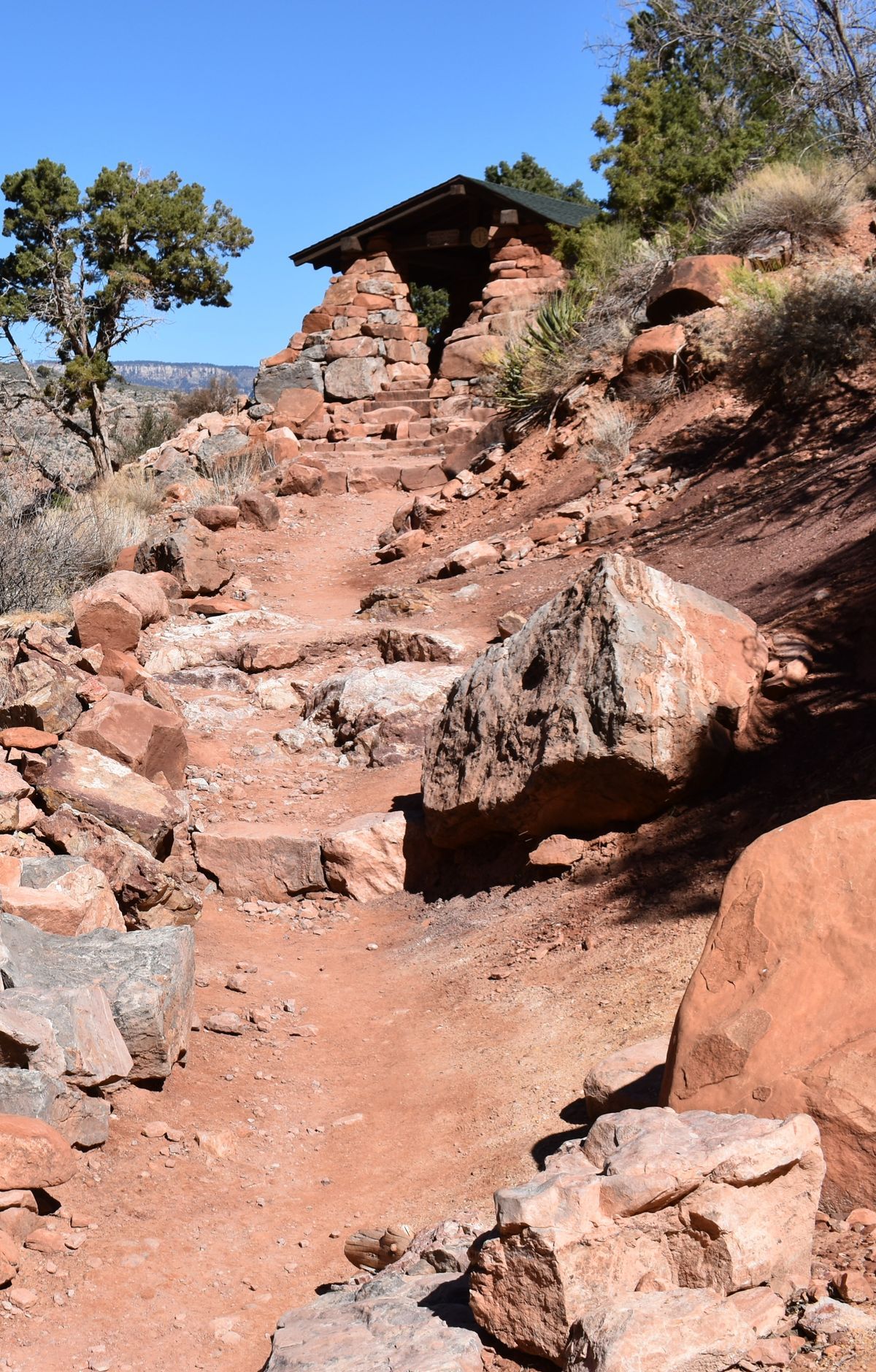
Descend through billions of years of geological history, passing beneath massive sandstone cliffs and alongside shaded oases such as Indian Garden (historically called Havasupai Gardens). The Bright Angel Trail descends through Bright Angel Canyon, generally following the route of Bright Angel Creek, and offers breathtaking views of the canyon's depths and, farther below, the Colorado River. Regular resthouses and seasonal water sources support hikers as they navigate steep switchbacks and diverse landscapes, from desert plants to riparian zones. The route is rich in history, tracing paths used by Native Americans and early pioneers.
Route map
This route was checked by Parka editors.
