
Grand Canyon National Park hiking guide
Plateau Point Trail
A 12.3-mile out-and-back with 3,240 ft of climbing in South Rim, rated difficult.
Key facts
- Length
- 12.3 mi (19.8 km)
- Elevation gain
- 3,240 ft (988 m)
- Route type
- Out and back
- Difficulty
- Difficult
- Area
- South Rim
- Highest point
- 6,848 ft
- Lowest point
- 3,688 ft
About Plateau Point Trail
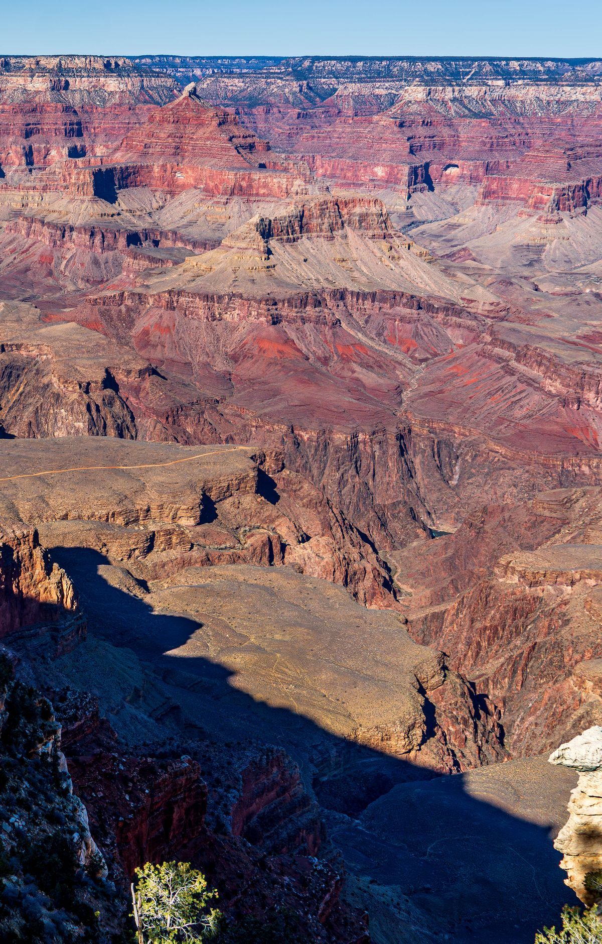
Descend into the heart of the canyon via the historic Bright Angel Trail, passing through Indian Garden (formerly called Havasupai Gardens) before following the Tonto Trail out to Plateau Point. The viewpoint provides expansive panoramic views of the Colorado River and the surrounding inner canyon. The Bright Angel Trail is well-maintained but challenging because of its steep elevation change; the short level walk along the Tonto Platform to Plateau Point is less strenuous.
Route map
This route was checked by Parka editors.
