
Grand Canyon National Park hiking guide
Rim Trail
A 12.7-mile trail with 580 ft of climbing in South Rim, rated easy.
Key facts
- Length
- 12.7 mi (20.5 km)
- Elevation gain
- 580 ft (178 m)
- Difficulty
- Easy
- Area
- South Rim
About Rim Trail
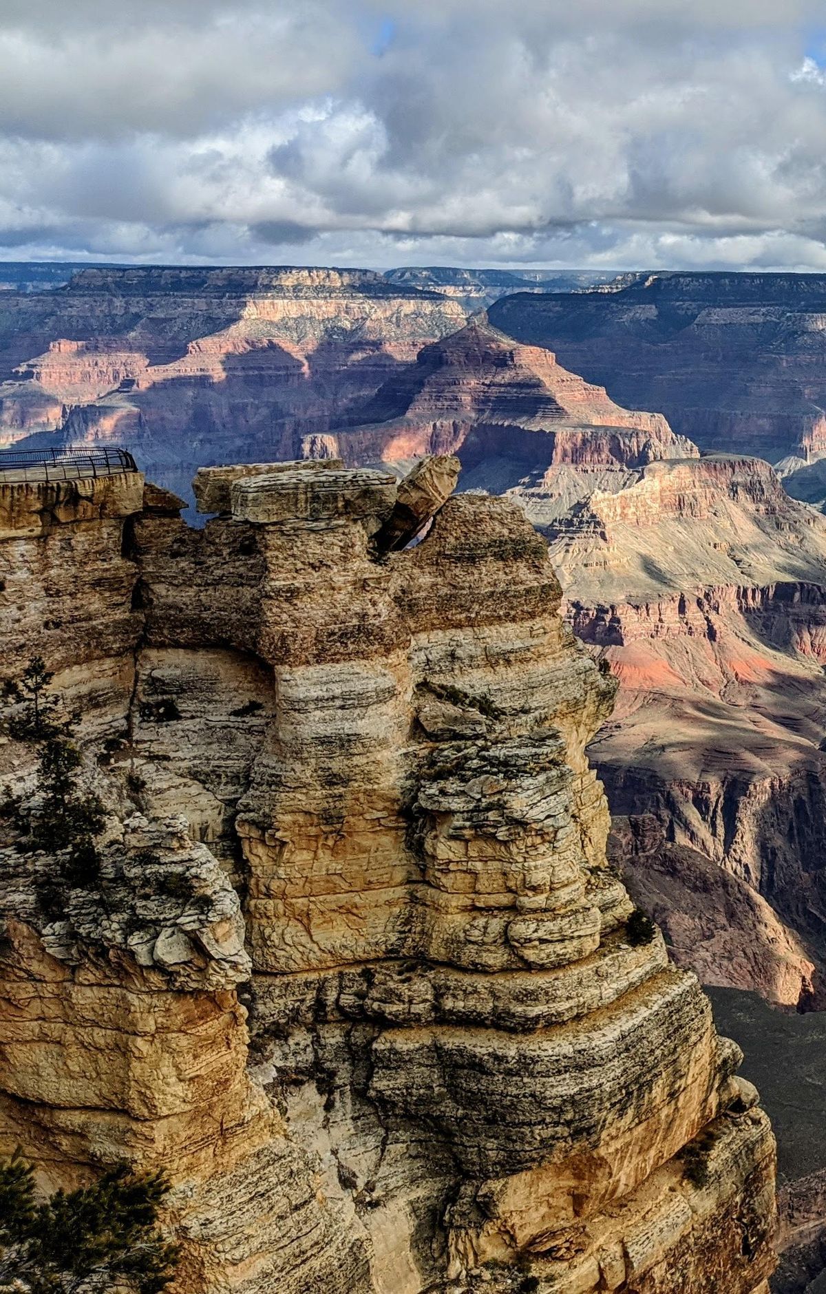
Follow the edge of one of the world's most iconic natural wonders, offering breathtaking views from multiple viewpoints. The path connects historic sites like Hermit's Rest and the Bright Angel Trailhead, providing access to amenities and scenic stops such as Pima Point and Hopi Point. Part of the trail is paved and wheelchair accessible, with shuttle services available for convenience. The trail also features interpretive exhibits like the Trail of Time, highlighting the geological history of the area.
Route map
This route was checked by Parka editors.
