Grand Teton National Park guide · 1 min read
Signal Mountain Summit Road and Teton Park Road
Signal Mountain Summit Road is the highest road in Grand Teton, topping out at 7,727 feet above sea level.
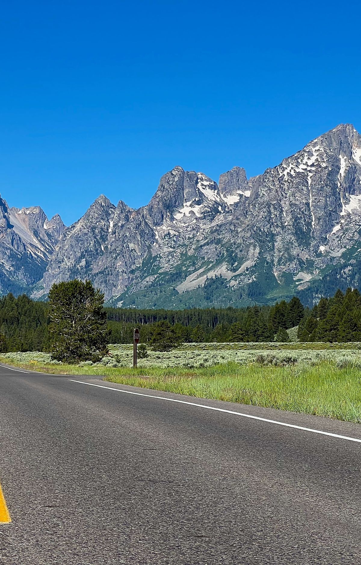
It leaves the Teton Park Road and climbs about 800 feet over 4.4 miles, which takes roughly 15 minutes each way. The road is narrow and winding, just wide enough for two cars, with many bends and switchbacks, so take it slowly.
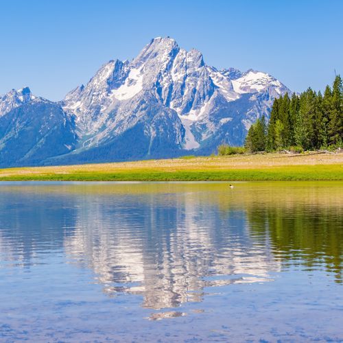
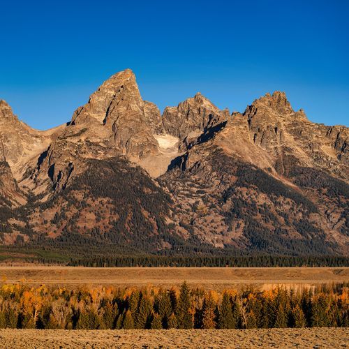
At the top, the view opens across the Teton Range, the valley of Jackson Hole and Jackson Lake. Two overlooks along the road give valley views, and both the summit and Jackson Point Overlook have parking. From the Jackson Point lot, a walk of about two minutes leads to a viewpoint over Jackson Lake.
The Teton Park Road is the main route along the base of the Teton Range, linking Moose with Jackson Lake Junction. Driving it takes thirty minutes to an hour, and pull-offs and overlooks line the way. It also reaches the trailheads for Taggart Lake, Lupine Meadows, Jenny Lake, String and Leigh Lakes, and Signal Mountain.
For a short detour, the Jenny Lake Scenic Drive is a one-way road along the east shore of Jenny Lake. From North Jenny Lake Junction, head west toward the mountains and turn left onto the drive, which rejoins the Teton Park Road just north of South Jenny Lake. Stop at Jenny Lake Overlook to see Teewinot Mountain rising beyond the water.
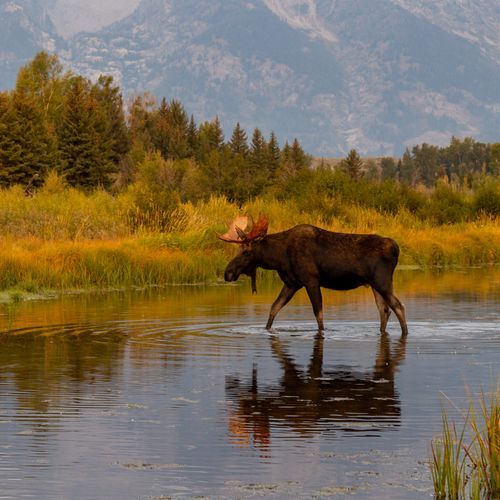
The Moose-Wilson Road is a corridor road between Moose and the town of Wilson, and a drive along it takes twenty minutes to an hour. On every one of these routes, use pullouts to watch wildlife or take photos, follow posted signs and keep an eye out for animals on or near the road.