Guadalupe Mountains National Park guide · 2 min read
Salt Basin Dunes: White Gypsum in the Desert
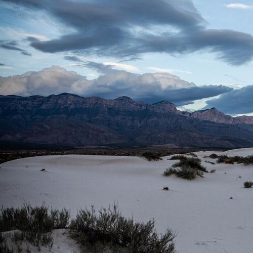
The Salt Basin Dunes are a field of bright white gypsum sand on the west side of the Guadalupe Mountains.
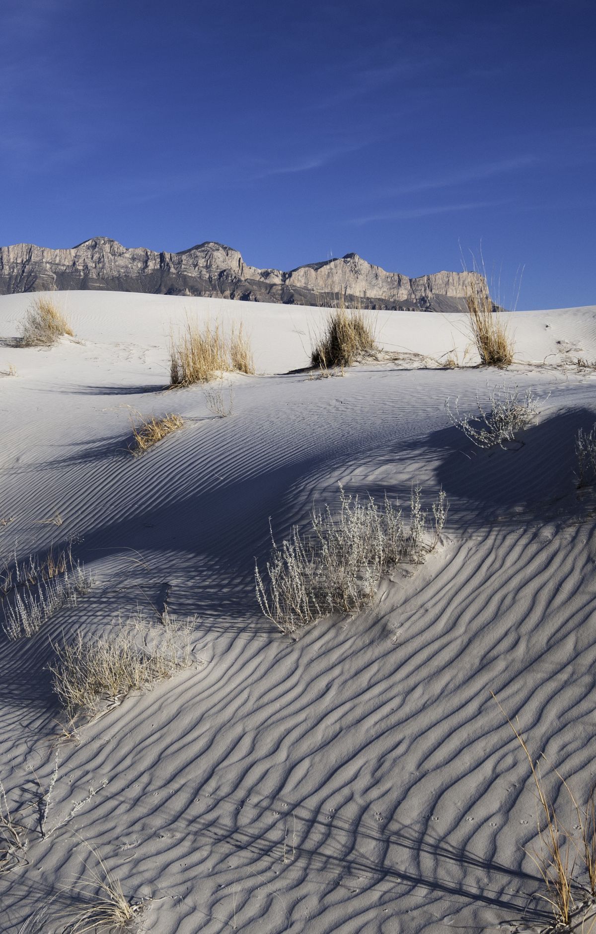
The dunes cover nearly 2,000 acres. Near the south end they rise only about three feet and are thick with plants. At the north end they climb to sixty feet, and most of that sand is bare.
The sand begins on the salt flats to the west. Rainwater washes off the limestone in the nearby mountains and collects in the basin. As it dries, it leaves grains of mineral salt behind. Wind pushes those grains northeast until they settle at the foot of the western escarpment and pile up into dunes. Because the dune landscape has formed only over the last few thousand years, it is considered geologically young.
The basin is a graben, a block of rock that dropped downward between faults. Faulting began roughly 26 million years ago, and the same movement lifted Guadalupe Peak more than two miles. Streams flowed into this basin, which has no outlet, so when the water evaporated it left gypsum and salt behind.
To reach the dunes, take the scenic drive to the Salt Basin Dunes Trailhead, where the hike begins. The Salt Basin Dunes Trail is flat and sandy and covers one and a half miles one way. It follows the northern edge of the dune field, offering views of the western escarpment and the tallest dunes, some of which require scrambling. Expect no shade along the way, so pack a good amount of water and aim to walk outside the heat of midday.
Parts of the dunes are covered by cryptobiotic crust, a dark layer built from lichen and fungi. The crust supplies nutrients to nearby plants and keeps the soil from shifting, so step only where the trail leads.