Joshua Tree National Park guide · 2 min read
Hiking Ryan Mountain and Other Desert Trails
Few trails in the central part of the park draw as many hikers as Ryan Mountain. Expect about three miles out and back and roughly 1,050 feet of climbing.
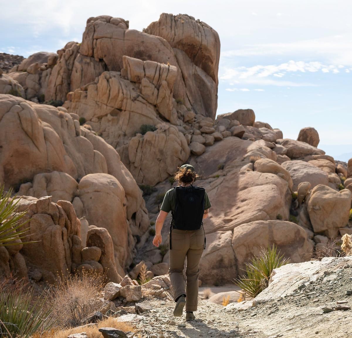
You'll find the trailhead on Park Boulevard, between Ryan Campground and Sheep Pass Campground. Plan on one and a half to three hours.
After a short, mostly flat start, the trail turns uphill and keeps rising toward the top. The summit is the reason to go. From there, a full 360-degree view stretches over the heart of the park, with desert reaching off in every direction.
Heat is the biggest hazard on this hike. You won't find any shade on the mountain, and a constant climb raises your body temperature quickly, so save it for cooler weather. The park's other strenuous routes share that danger, with direct sun, high temperatures and dehydration all playing a part. Hikers need rescuing on these trails every year.
For a shorter outing, Arch Rock Trail is an easy 1.8-mile route that takes about an hour. It leads past both Arch Rock and Heart Rock, with a few spots of scrambling over rock. From the Cottonwood Spring parking lot, Mastodon Peak Trail makes a three-mile loop. Hikers pass the remains of an old gold mine, and the route opens onto views toward the Eagle Mountains and the Salton Sea.
Lost Palms Oasis Trail starts from that same lot and runs 7.5 miles out and back, gaining about 500 feet. Sandy washes come first, and then the trail drops into a canyon dotted with palm groves. The Boy Scout Trail is a strenuous eight-mile one-way route into the Wonderland of Rocks that takes around six hours. The boulders make it easy to get disoriented, so keep to the trail, and set up a vehicle shuttle if you plan to hike the whole thing.