
Joshua Tree National Park hiking guide
Arch Rock Trail
A 1.1-mile out-and-back with 92 ft of climbing in Hidden Valley, rated easy.
Key facts
- Length
- 1.1 mi (1.8 km)
- Elevation gain
- 92 ft (28 m)
- Route type
- Out and back
- Difficulty
- Easy
- Area
- Hidden Valley
- Highest point
- 3,912 ft
- Lowest point
- 3,819 ft
About Arch Rock Trail
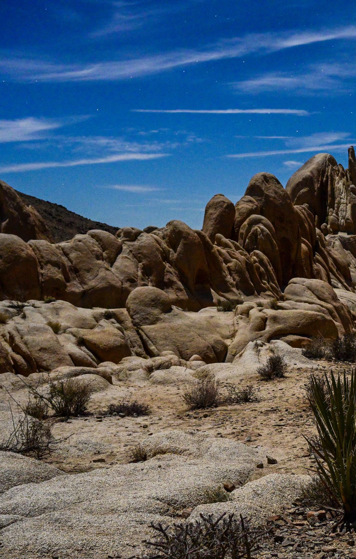
This trail leads to a stunning natural rock arch, a popular photography spot. The area offers additional exploration opportunities, including the nearby Heart Rock, a heart-shaped granite boulder. The trail traverses various terrains, including deep sand and rocky surfaces, and features interpretive signs highlighting the unique geology of the area.
Route map
This route was checked by Parka editors.
