Lake Clark National Park & Preserve guide · 2 min read
Tanalian Trails and Falls Near Port Alsworth
Tanalian Falls is the most popular hike out of Port Alsworth. The route is about three miles from the trailhead, starting on a wide gravel road that climbs steeply to the park boundary and continuing over planked boardwalk sections.
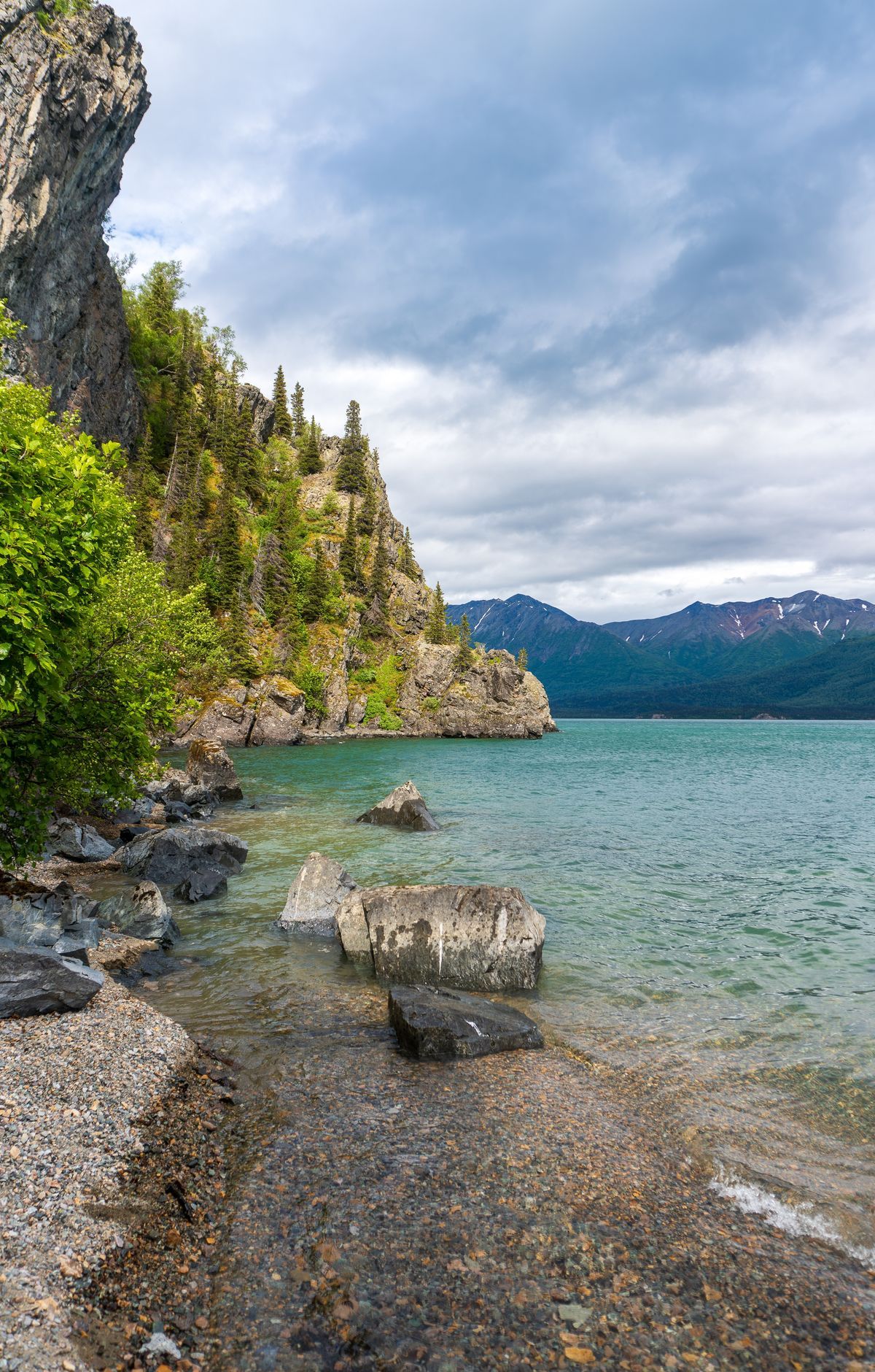
A steep descent leads to the Lower Falls, where the river bank is. Most hikers need one to one and a half hours to reach the falls, and parts of the trail are narrow, rocky, and muddy.
For day hiking, the Tanalian Trails are the park's only developed and maintained trail system, and they start in Port Alsworth near the southernmost airstrip. Beyond the falls, the Kontrashibuna Lake hike covers about five and a half miles, passes Tanalian Falls, and reaches a viewpoint over Kontrashibuna Lake, a turquoise lake. Hikers with more time can continue past it into trailless high country.
The Tanalian Mountain route is the harder option, climbing from Port Alsworth to a peak just under nine miles round trip. From the top, hikers see Lake Clark, Kontrashibuna Lake, the Chigmit Mountains, and Port Alsworth all around them. The Beaver Pond Trail is another route in the network and appears on the park's trail map beside the falls and mountain trails.
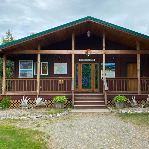
Fly fishing is also an option at Tanalian Falls, reached by the same trail. The Lake Clark National Park Visitor Center sits in Port Alsworth, roughly halfway up the easternmost runway, and it has maps of the town and the Tanalian Trails. Its displays include the Fish Cache and the Denison Sawmill exhibit.
Port Alsworth has no road connection and no grocery stores, so most trips mean walking, and you may have to cross an aircraft runway on foot. Cross at the far end of the runway, and always look left, right, and up first, since small planes can be quiet until their wheels touch down.