White Sands National Park guide · 2 min read
From Permian Seas to Selenite: Gypsum Origins
During the Permian Period, shallow seas spread across the land that now holds White Sands National Park.
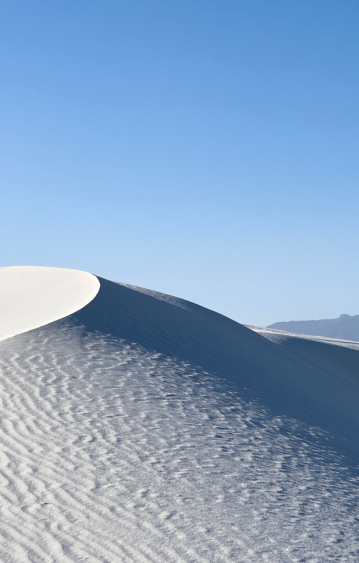
As the water evaporated, those seas left behind gypsum, a soft mineral made of calcium sulfate. Much later, tectonic forces pushed parts of that gypsum-rich seafloor upward, forming part of the San Andres and Sacramento Mountains.
Rainwater slowly dissolved the gypsum in those ranges, and streams carried it into the Tularosa Basin, a closed basin with no outlet to the sea. Part of that water seeped underground, and the rest pooled in shallow depressions. Once the pools dried, the mineral was left on the surface as selenite, a crystalline form of gypsum.
During the last ice age, a lake called Lake Otero filled much of the basin, spanning about 1,600 square miles. When it dried, it left a wide, level expanse of selenite known as the Alkali Flat. Lake Lucero lies in the park's far southwest, near the lowest ground in the basin at about 3,887 feet. It holds water only after heavy rain or snow in the surrounding country.
Rangers lead the Lake Lucero Tour down a steep gully to the lake bed. The ground there is scattered with thousands of selenite crystals. They range in size, with the largest about two feet long. Many people call Lake Lucero the birthplace of the dunes, since its crystals are a key ingredient in the gypsum sand. Taking any natural item from the park is not allowed, including selenite, so leave every crystal where it lies.
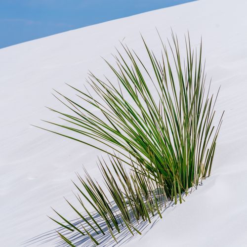
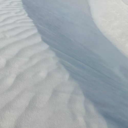
Wind and weather break the crystals into grains and carry them into dunes. Together they form the world's largest gypsum dunefield, which covers 275 square miles. The park protects 115 square miles of that dunefield, and the remaining 160 square miles fall within White Sands Missile Range, farther north. Individual dunes can move as much as 30 feet in a single year.