Badlands National Park guide · 1 min read
How an Inch a Year Carves the Badlands
Water and wind are the main forces shaping Badlands National Park, and together they wear away about an inch of ground each year.
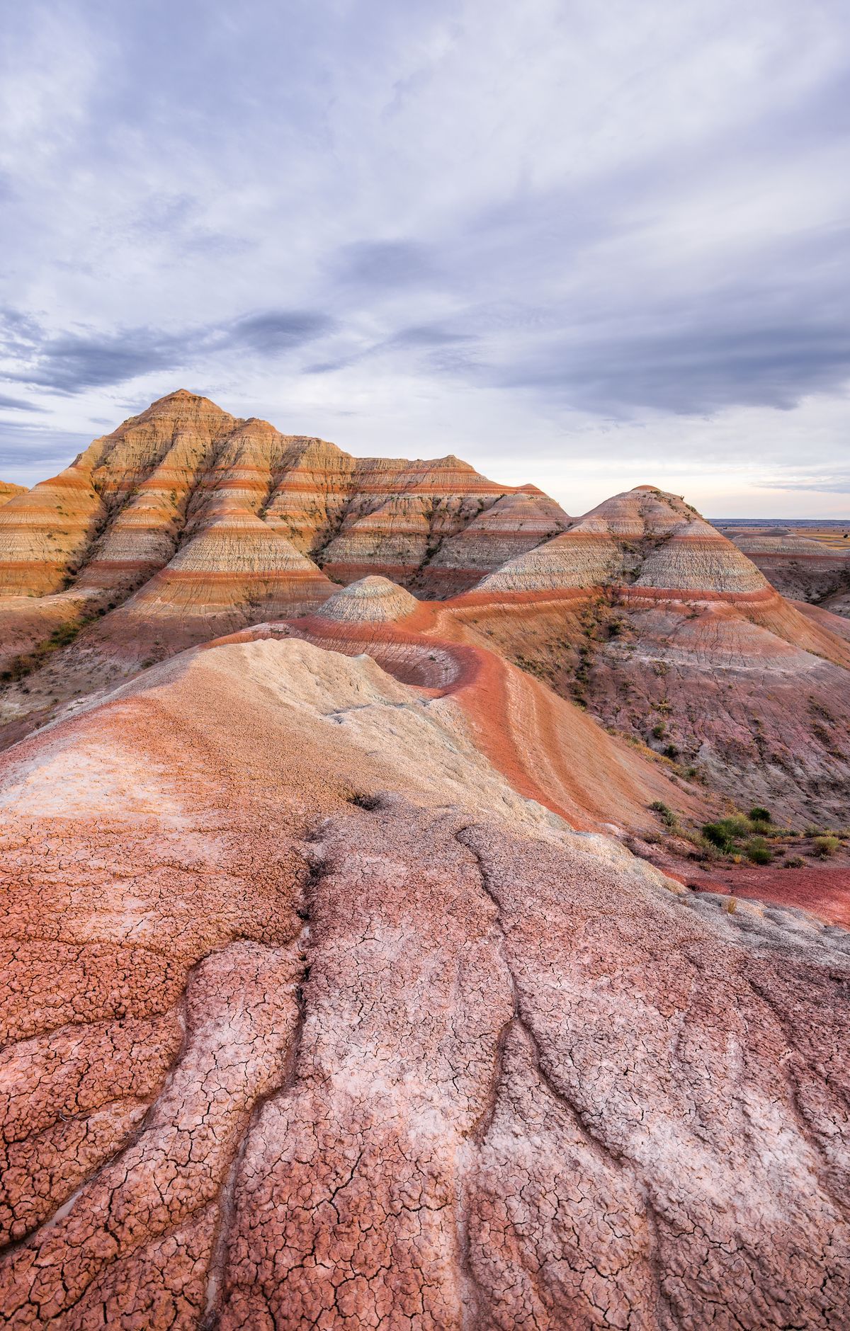
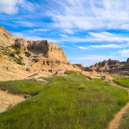
The word badlands refers to rough ground where clay-heavy soil has been worn down by rain and wind. The Lakota people call this land Mako Sica, which translates to bad lands.
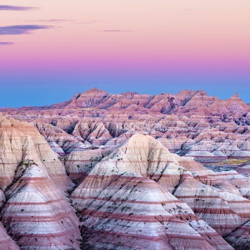
The erosion began in earnest about five million years ago, when the land was pushed upward. That uplift set water and wind to work, carving rounded domes, winding canyons and walls striped in different colors. The layers of rock revealed by this process show banding that makes the walls look painted.
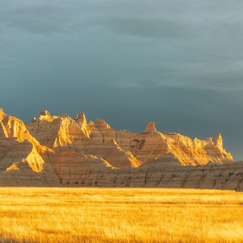
The park also protects buttes and pinnacles that erosion has sharply cut. Its fossil beds from the Oligocene epoch rank among the richest in the world, and they date back roughly 20 to 35 million years. Along the Fossil Exhibit Trail, a boardwalk passes displays about fossils uncovered in the park.
The Badlands Loop Road, also called Highway 240, is a two-lane paved route through the North Unit that passes a number of scenic overlooks. Drivers join it from Interstate 90. Big Badlands Overlook offers a view of the eastern portion of the Badlands wall, where the ground drops away into formations below.