Big Bend National Park guide · 1 min read
Desert Heat, Monsoons and Busy Spring Crowds
Spring is the park's busiest season, and March in particular draws large crowds, often during spring break.
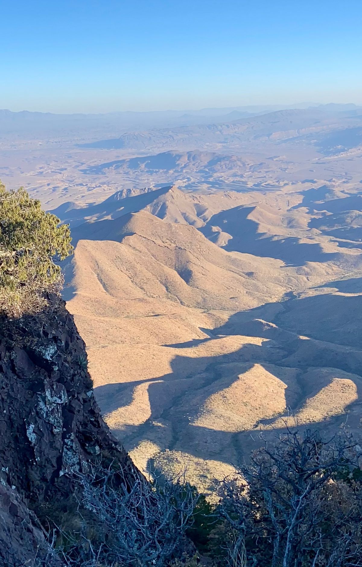
Big Bend's busy stretch generally runs from November through April, and campgrounds and lodging often fill up over holiday weekends and the Christmas season. You need to reserve camping and lodging in advance, and campground bookings typically open several months ahead. Book as early as you can, and keep your itinerary flexible for the busiest days.
Big Bend sits in the Chihuahuan Desert, where sunshine is abundant for much of the year. Summer heat begins in May, and May through August are the hottest months. The desert floor is usually well above 100 degrees Fahrenheit by late morning. Visitors should be familiar with heat safety before setting out, because summer hiking can be dangerous during daylight hours.
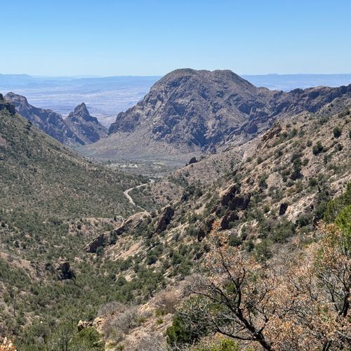
The Chisos Mountains offer relief from that heat, often running 10 to 15 degrees cooler than the desert floor. Emory Peak in the range reaches 7,832 feet. Hiking is most comfortable in spring, when temperatures are typically warm and pleasant, and in winter, when days are mild and usually sunny, though nights can drop to freezing.
From July through September, the rainy season brings locally heavy thunderstorms and sudden downpours, often in the afternoon and evening. Those rains can cool the desert, making it a pleasant time to visit. Flash flooding is a serious concern, though. Even moderate rain can wash out roads, especially unpaved backroads and sections of Ross Maxwell Scenic Drive. As little as one foot of moving water can sweep a car away, so if you doubt a crossing is safe, wait. Never camp in washes, and avoid hiking in them when storms threaten, since flash floods can arrive even when it is not raining nearby.