Big Bend National Park guide · 1 min read
Paddling 118 Miles of the Rio Grande
The Rio Grande runs for 118 miles along the southern edge of Big Bend National Park, and it also forms the international border with Mexico.
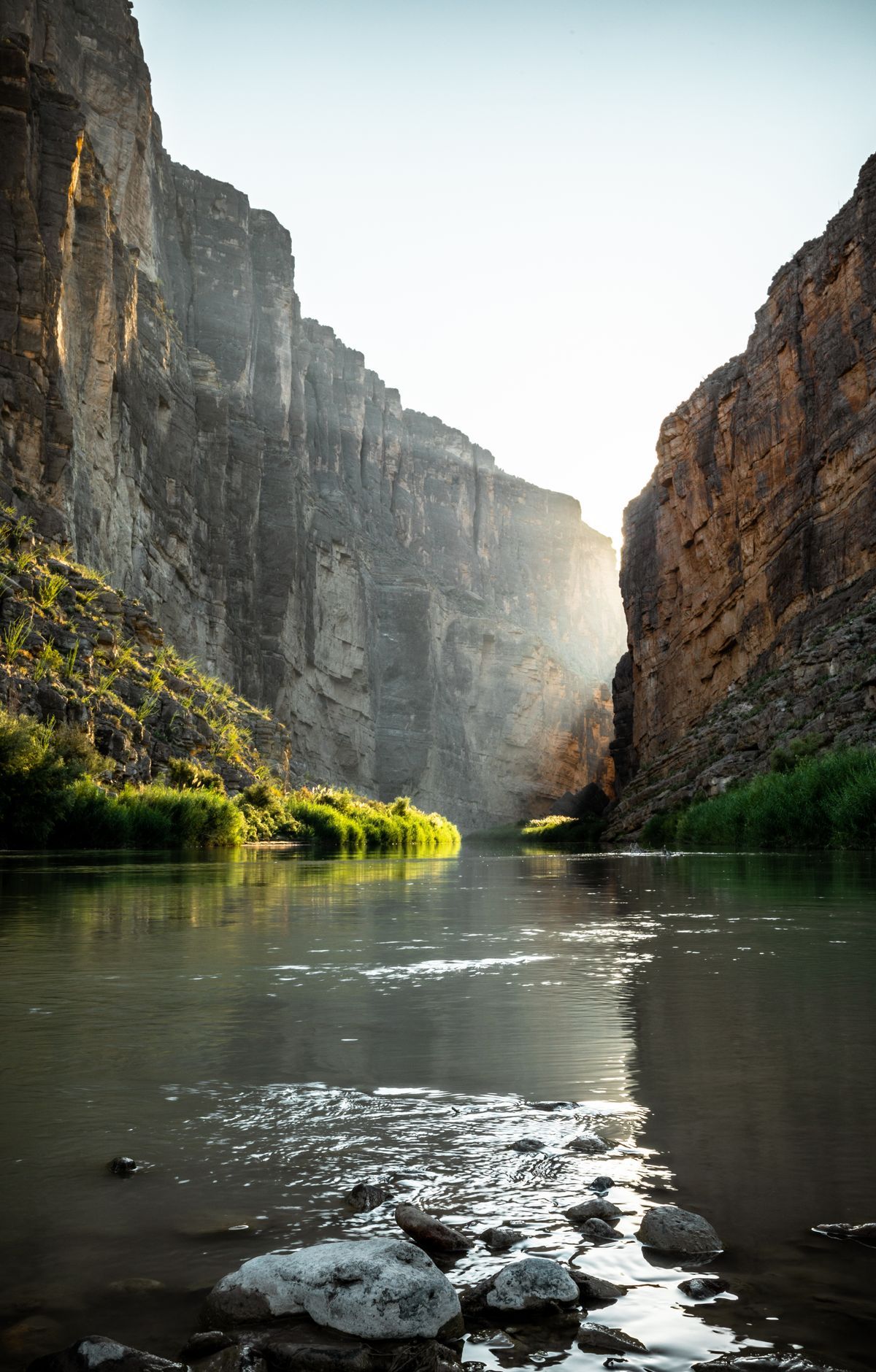
Visitors can float it by raft, canoe, or kayak, bringing their own gear or booking with a local outfitter. Some trips are half-day floats, while others are multi-day expeditions. On the Rio Grande Wild and Scenic River, paddlers typically cover ten to fifteen miles a day.
The river runs through deep canyon country. Paddling here puts you among canyon walls as deep as 1,500 feet, and on winter days the sun may touch the canyon floor for only a short time. The Ross Maxwell Scenic Drive ends at Santa Elena Canyon. Boquillas and Mariscal canyons are also favorites among float trips.
Wildlife is part of the experience on the water too. Beavers can be heard working through the brush along the banks, and you might catch one sliding down the bank into the river. Turtles, red-eared sliders in particular, bask on rocks and logs just above the water's edge. Great blue herons, black phoebes, green kingfishers, and waterfowl are among the birds you may spot. In the more open stretches, you may also see local residents fishing and farming.
If you are new to river trips, a guided trip is the easiest place to start. Tour operators take care of much of the planning and usually supply life vests, spare oars or paddles, a first aid kit, and, for inflatable boats, a patch kit and pump. Paddling your own kayak or canoe is manageable even for people who have never tried it. The water level decides which trips are practical, so check with the park or your tour company before you set out.