Big Bend National Park guide · 1 min read
South Rim, Emory Peak and the High Chisos
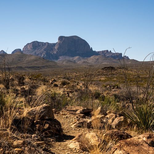
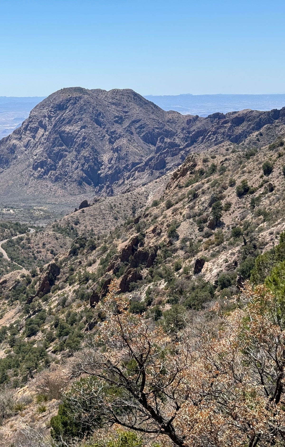
Many of the park's best hikes begin in the Chisos Basin, within the Chisos Mountains. Trails climb through a mix of pine, oak and juniper forest before opening onto wide views.
The Boot Canyon Trail is another option worth considering.
The Lost Mine Trail covers 4.8 miles round trip and is rated moderate. Much of the way is an uphill climb under juniper, oak and pine, but the first mile ends at a saddle that looks east toward Casa Grande and Juniper Canyon. Past the ridge, the view opens onto Pine Canyon and the Sierra del Carmen across the border in Mexico. Trailhead parking fills quickly, so arrive early, ideally at sunrise.
The South Rim Trail makes a 12.6-mile circuit from the Chisos Basin, climbing through pine and oak woods to reach the rim. From there, the eye carries far across the Chihuahuan Desert. Rated strenuous, it typically takes six to eight hours, which makes it a better fit for seasoned hikers with a full day free. Adding the summit of Emory Peak brings the total to about 15.6 miles.
Emory Peak is the highest point in the Chisos Mountains and the park. The round trip from the Chisos Basin trailhead is roughly 10 miles, with a climb of nearly 2,500 feet. The final climb is steep, ending with about 25 feet of scrambling over exposed rock. From the top, a full circle of views takes in the whole park.
Hiking here calls for planning. Mountain lions and black bears roam these slopes, so keep children close and never let them run ahead of the group. Bring more water than you think you need. Intense desert sun reaches the peaks too, so pack sunscreen and a wide-brimmed hat. Rest whenever you need to, and leave time to look around.