Big Bend National Park guide · 1 min read
Santa Elena Canyon and the Castolon Corridor
The Ross Maxwell Scenic Drive is a 30-mile paved road along the western side of Big Bend National Park.
It begins at Panther Junction Drive and ends at Santa Elena Canyon. Plan at least half a day to stop at the highlights, or a full day if you also want to hike into the canyon and linger at the overlooks.
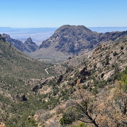
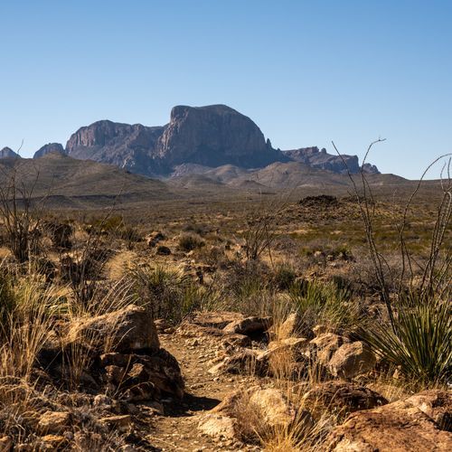
Sotol Vista Overlook sits high above the desert floor and looks across the western part of the park, with Santa Elena Canyon visible in the distance. From Mule Ears Overlook you can see the Mule Ears, a rock formation shaped like a pair of mule ears. For a closer view, the 3.8-mile Spring Trail starts at the overlook parking lot, but it ends at a spring and never reaches the formation. Tuff Canyon is a deep, narrow gorge carved from welded volcanic ash called tuff, and several viewing platforms look down into it. You can also hike into the gorge.
The Castolon Historic District has historic adobe buildings and exhibits, including the Magdelena House. The Castolon Visitor Center sits in the historic officer's quarters, about 8 miles from the Santa Elena Canyon trailhead. A small store sells limited groceries and supplies. Cottonwood Campground is nearby, with quiet riverside camping and picnic tables.
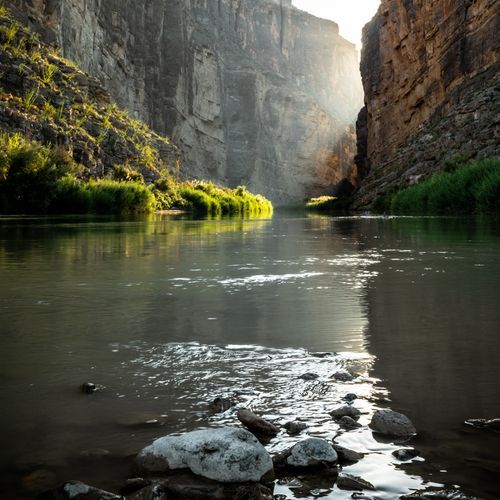
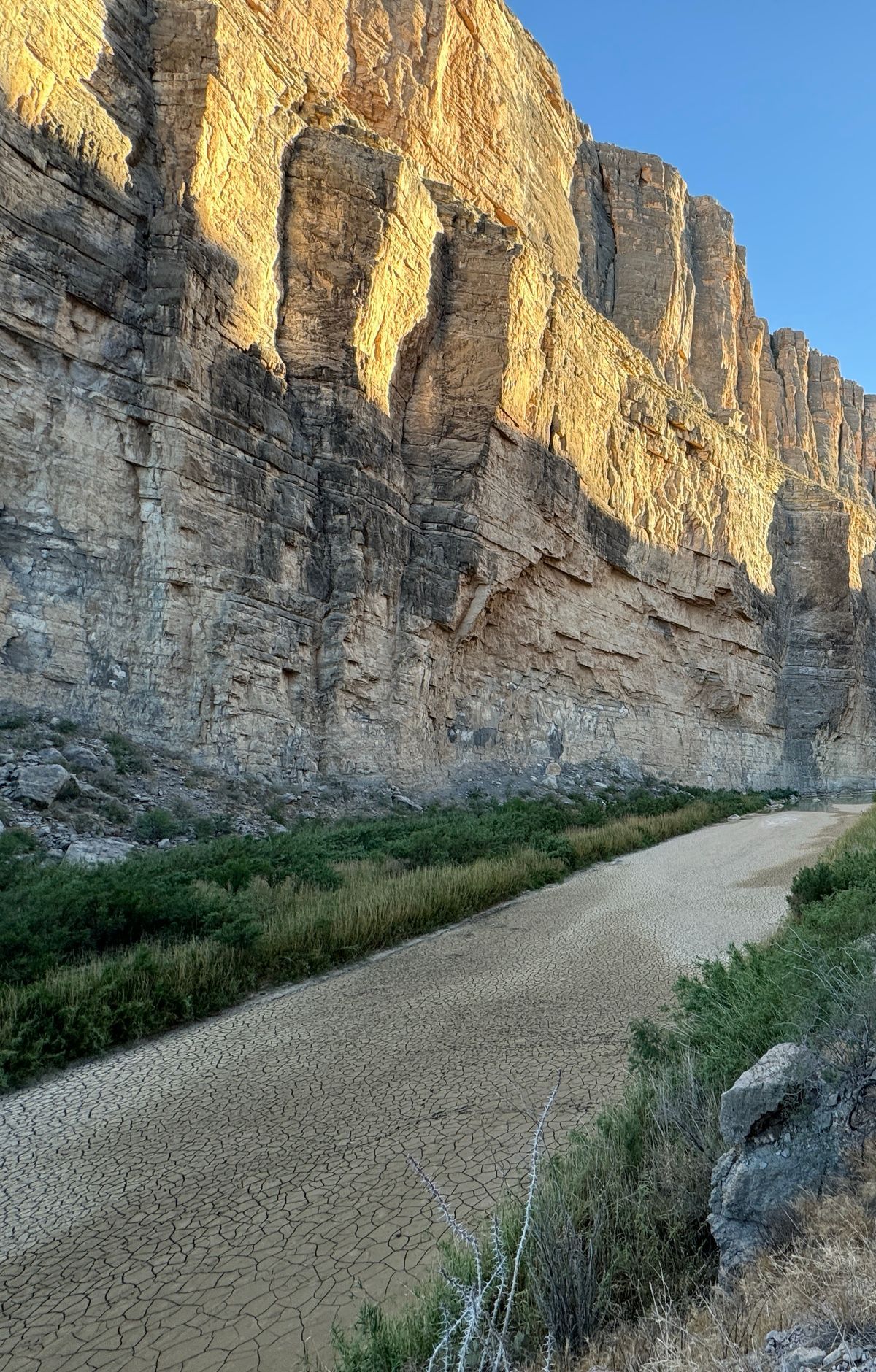
Santa Elena Canyon sits at the end of the drive, where limestone cliffs rise 1,500 feet above the Rio Grande. The hike there is 1.7 miles and takes one to two hours. Most of the way follows the river's edge, with one brief climb before the trail reaches a view into the canyon.
Old Maverick Road is a gravel road linking Santa Elena Canyon with the Maverick Junction entrance. You can drive one direction on it and return by the Ross Maxwell Scenic Drive.