Capitol Reef National Park guide · 2 min read
Looping the Fold: Muley Twist and Strike Valley
The Waterpocket Fold is a tilted wrinkle in the Earth's crust, nearly 100 miles long. The Loop the Fold drive circles part of it in the remote south, taking roughly a full day.
Ordinary cars usually handle Notom-Bullfrog Road, which turns from pavement to gravel. Headquarters Canyon and Surprise Canyon are easy slot canyons you can add to that stretch.
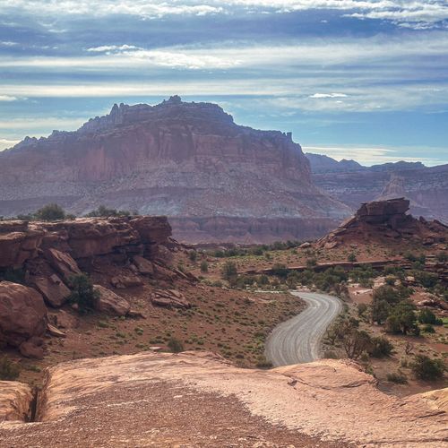
The loop then joins Burr Trail Road, which started as a cattle route marked out by stockman John Atlantic Burr. It covers 8.5 miles inside the park, and switchbacks climb about 800 feet across half a mile. Recreational vehicles and rigs towing trailers should skip those switchbacks.
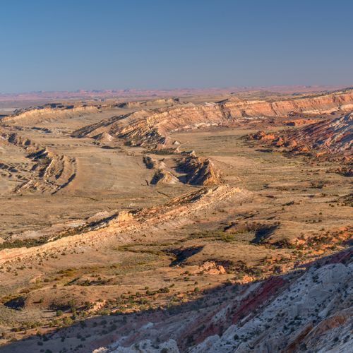
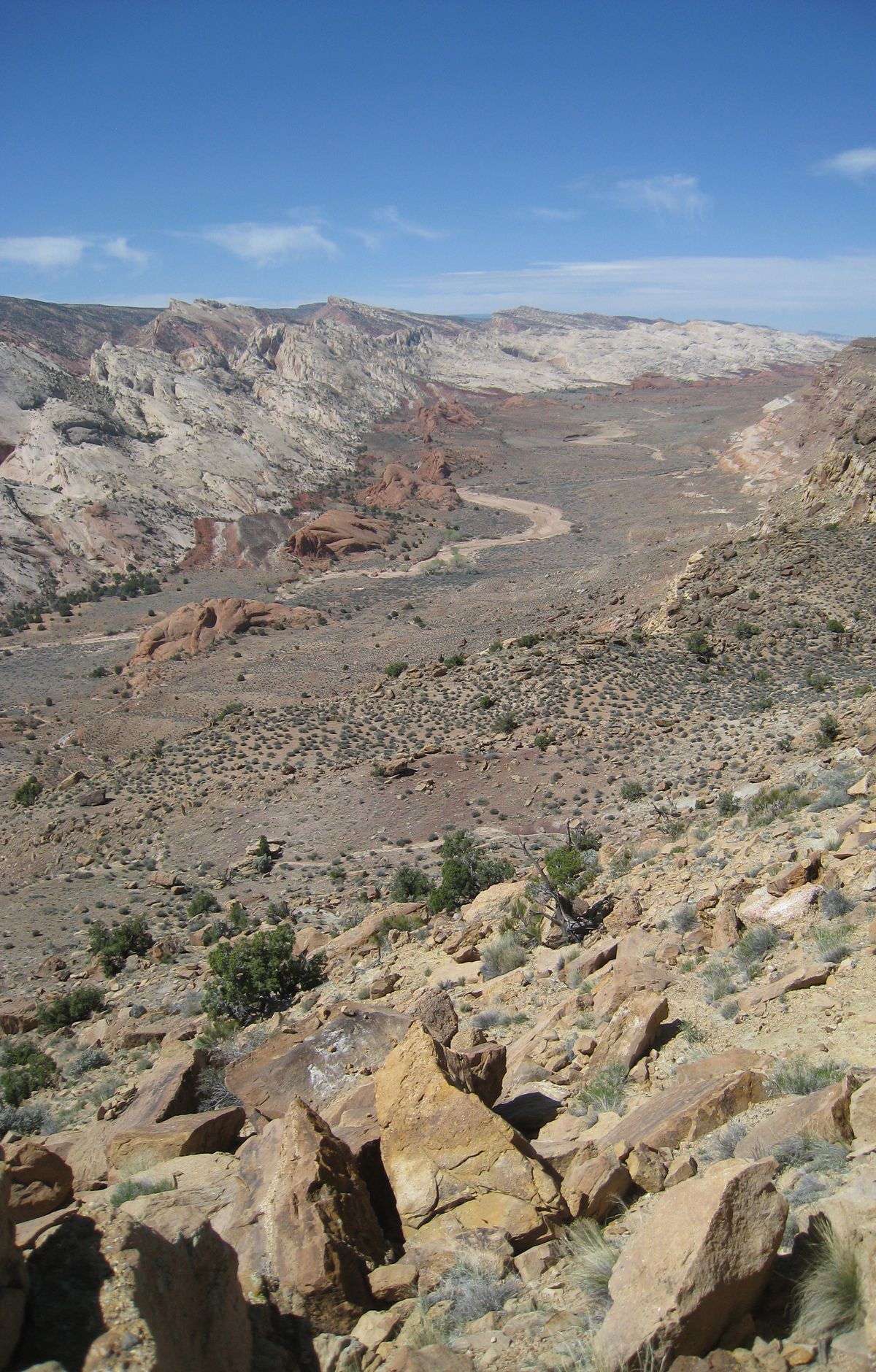
Shortly before the climb, a rough road branches off toward Strike Valley Overlook and needs a high-clearance vehicle. From the rim, the view takes in Strike Valley and the Navajo and Entrada sandstone layers beneath it. The overlook can also be reached by a short hike from the road's end. Halls Creek Overlook lies roughly 56 miles by road from the visitor center.
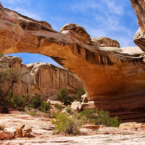
Upper Muley Twist Canyon follows the crest of the fold, with narrow passages, slickrock ridges, and many large arches cut into Wingate sandstone. Lower Muley Twist is a lengthy, bending canyon with narrow stretches and big alcoves. Between 1881 and 1884, Mormon pioneers drove wagons south through it. The name supposedly comes from a belief that the canyon was tight enough to twist a mule.
Either canyon can be walked in one long day or stretched into an overnight trip. Water is hard to count on, and summer heat runs extreme, so pack plenty and move carefully through tight passages. Camping away from established campgrounds needs a backcountry permit, which you can get in person at the visitor center. Phone coverage is spotty, so leave your plans with someone staying behind.