Congaree National Park guide · 1 min read
Not a Swamp: How Floods Feed Congaree
The forest here is not a swamp. Congaree protects a large, largely intact stretch of bottomland hardwood forest, the type that grows along river floodplains in the southeastern United States.
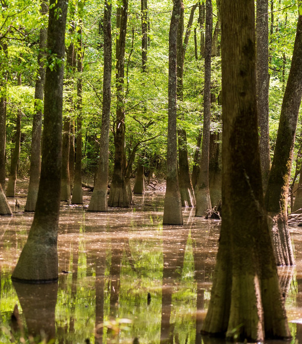
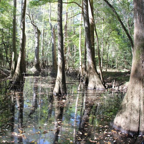
Bald cypress, water tupelo, oaks, gums and loblolly pines make up much of the canopy, and some of the bald cypress trees are more than 500 years old. Several of the tallest trees in the eastern United States stand here, and national and state champion trees have been recorded in the park.
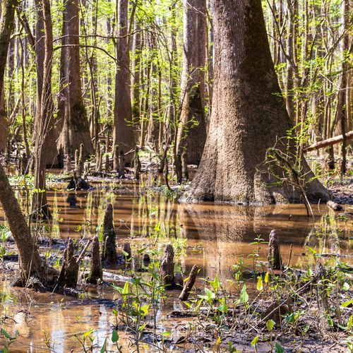
Floods are the reason the forest looks the way it does. Water from the Congaree and Wateree Rivers spreads across the floodplain each time it rises, leaving behind nutrients and sediment that renew the soil and feed tree growth. Nearly 80 percent of the park sits within the floodplain, and flooding comes roughly ten times a year. Repeated flooding and receding is why the park is so often mistaken for a swamp, when it is really a floodplain forest.
Floods also shape how you plan a visit. When water rises, backcountry trails and parts of the boardwalk can become unreachable, so check the water gauges for Cedar Creek and the Congaree River before you head out. Cedar Creek winds from west to east through the middle of the park, and it is a route many paddlers choose in kayaks and canoes.
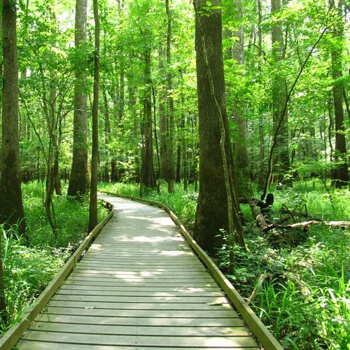
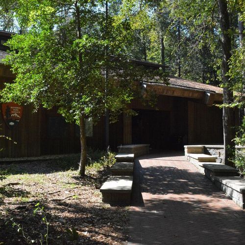
Many visitors begin their time at the Harry Hampton Visitor Center, the park's main hub, where most trails start. The Boardwalk Loop Trail leaves from there and runs along a raised wooden walkway that carries you through the trees. The Congaree River forms the park's southern border, and a few short trails head out to the east.