Great Basin National Park guide · 2 min read
Twelve Miles Up the Wheeler Peak Scenic Drive
The Wheeler Peak Scenic Drive is a paved, out and back road of 12 miles from the park boundary on Nevada Highway 488 up to 10,000 feet.
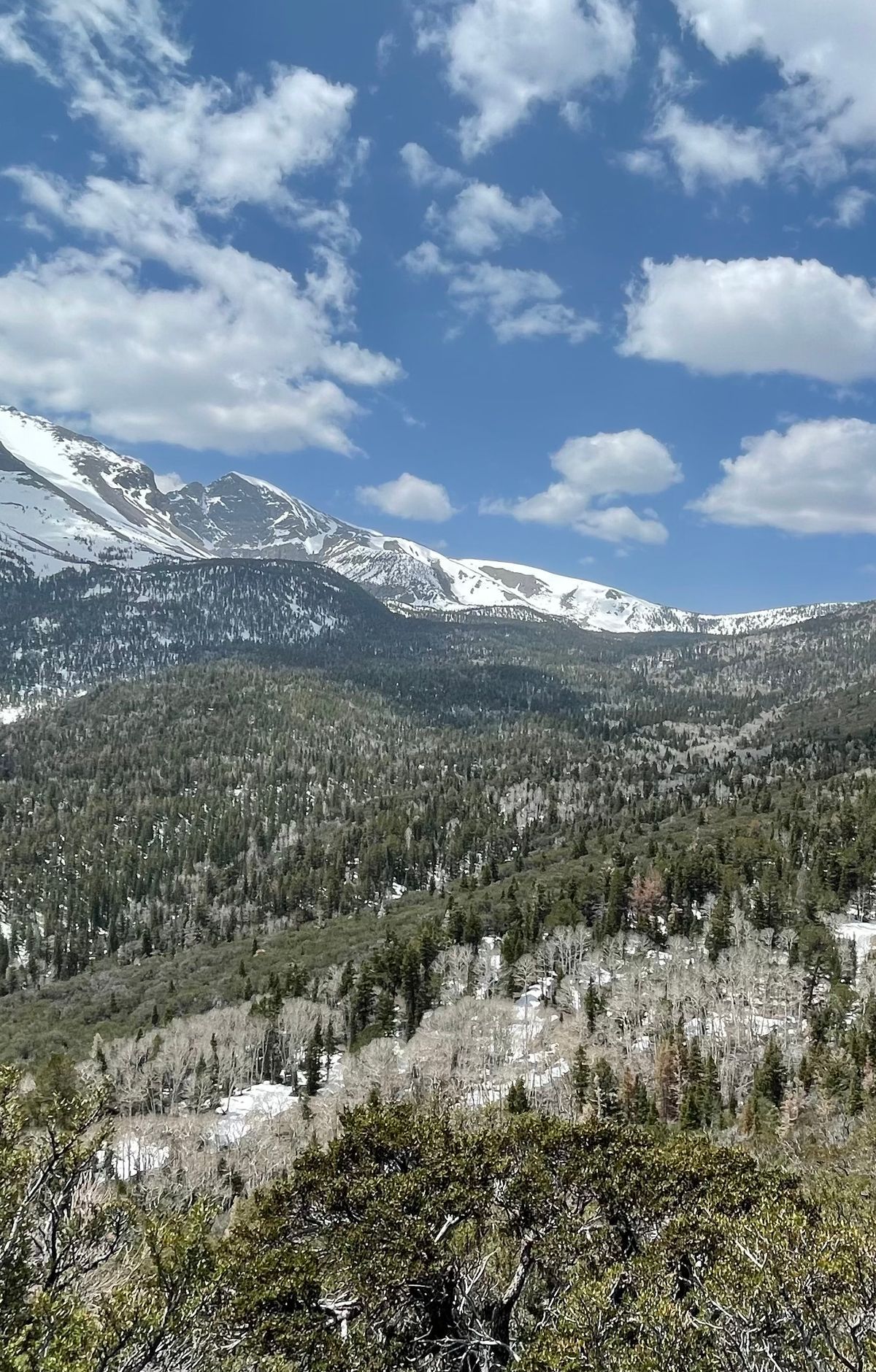
It is steep and winding, with hairpin turns and an average grade of 8 percent. Allow about 30 minutes of driving if you do not stop, and expect to climb more than 3,000 feet from a start just under 7,000 feet.
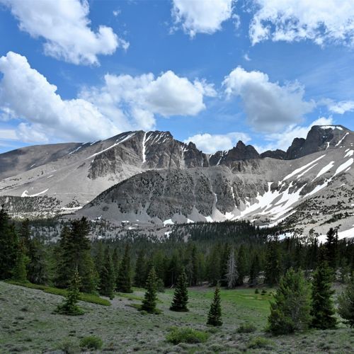
Leaving the desert floor behind, you pass through many ecological zones, and the plants and animals shift with each one. Mule deer, marmots, coyotes and jackrabbits are often seen along the climb. The Great Basin Life Zones self-guided auto tour on the official NPS app covers these changes. Trailheads sit at Lehman Creek, about three miles up, Osceola Ditch, about five miles up, and the Summit Trailhead, about 11 miles up.
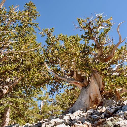
Two overlooks on the upper road give views south: Mather Overlook at just over 9,000 feet and Wheeler Peak Overlook at 10,000 feet. The road ends at the Bristlecone Trailhead at mile 12, where the Bristlecone Trail runs 2.8 miles through the Wheeler Bristlecone Grove, home to some of the oldest trees on Earth. The Alpine Lakes Trail, an easy 2.7 miles to Stella and Teresa Lakes, starts from the same lot.
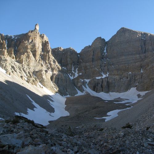
The hike to Wheeler Peak leaves from the Summit Trailhead and climbs to 13,063 feet, the tallest point in the park. The round trip is nearly 9 miles and takes four to ten hours. Altitude sickness is a real concern on this route, even for visitors who already live at high elevation, so plan ahead before you set out.
Trailhead parking can fill on crowded weekends and holidays, so keep an alternative hike in mind for a quieter day. Alpine and subalpine areas are fragile, so stay on the trail. A single misplaced step can harm a delicate plant.