Great Smoky Mountains National Park guide · 2 min read
Alum Cave Trail to LeConte Lodge
Five trails climb to the top of Mount LeConte, and none is shorter than Alum Cave Trail, at 10 miles round trip.
Its trailhead sits on Newfound Gap Road, about 6.8 miles south of Sugarlands Visitor Center. The climb is steady and strenuous, with stairs to climb, footbridges to cross and stretches of steep, rocky ground. It ranks among the busiest hikes in the park, so expect plenty of company and consider taking a shuttle.
The opening miles follow Alum Cave Creek through dense old-growth forest, with mountain streams running close to the path. At 1.4 miles you reach Arch Rock, where the trail passes straight through an opening in the stone. Beyond the arch, the grade gets noticeably steeper. Turning back here makes a more moderate outing of 2.8 miles.
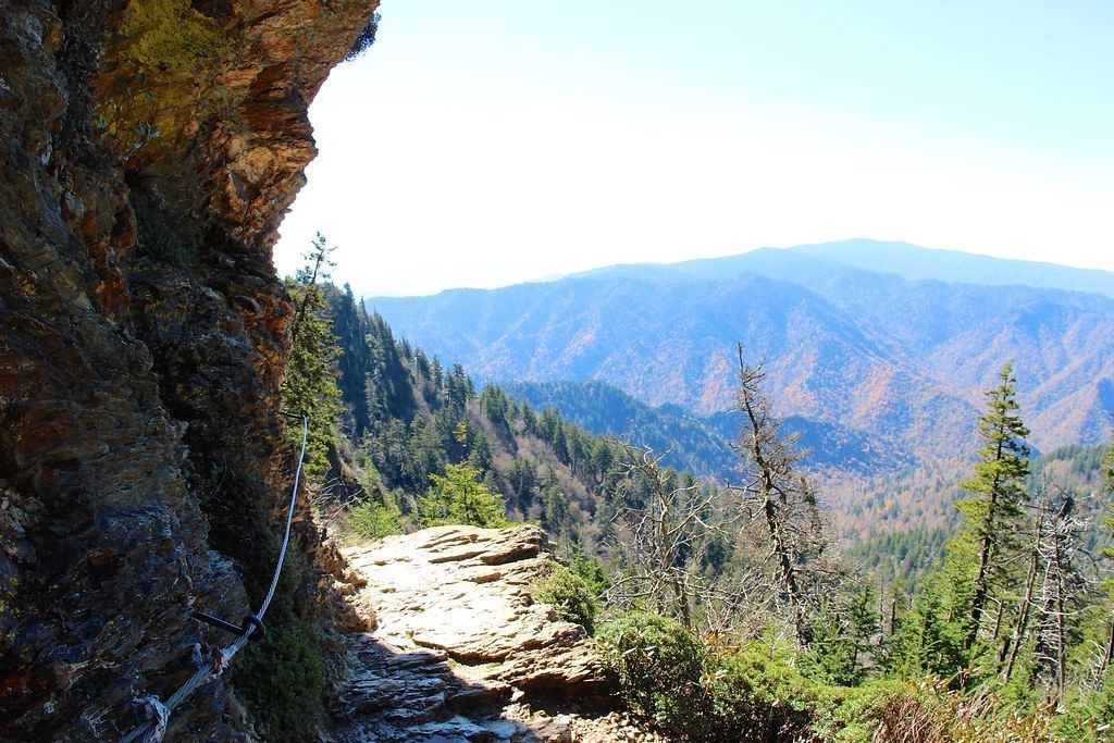
Alum Cave Bluffs come at 2.3 miles. The name is misleading, since what you find is an 80-foot cliff whose face bends inward overhead rather than any real cave, and the views of the Smokies from here are some of the best on the route. Many hikers make the bluffs their goal and head back for a round trip of 4.6 miles.
Above the bluffs, the forest changes to spruce and fir, and the path keeps working upward. Few peaks in the Smokies match Mount LeConte for steepness or height, and its summit stands at 6,593 feet, the third highest point in the park. LeConte Lodge sits on the summit and can be reached only on foot, and staying overnight requires an advance reservation.
Close to the summit, look for signs pointing to Cliff Top and Myrtle Point, the two spots with the widest views from the mountain. If you are not staying at the lodge, save enough daylight and energy for the long descent back to the trailhead.