Mammoth Cave National Park guide · 2 min read
Paddling the Green River National Water Trail
Visitors can paddle more than 30 miles of the Green and Nolin Rivers as they wind through the park.
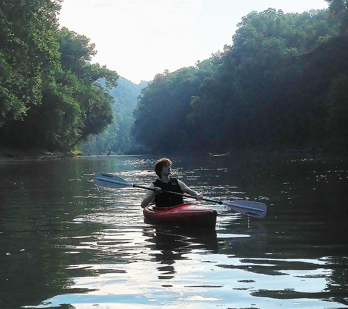
Together those waters make up the Green and Nolin Rivers Blueway, a National Water Trail with 36 miles of navigable water and seven public access sites. It is Kentucky's first National Water Trail, and the designation supports safe public use of the river as well as care for the wider river system.
The Green River is notable for the range of life it supports. It holds more than 150 fish species and more than 70 kinds of mussel, and many of those mussels are threatened or endangered. Inside the park, the river runs 25 miles, with sandbars, islands, and springs beneath its surface. It averages about 200 feet wide and 10 feet deep, though some spots run much deeper.
The most popular trip runs 7.6 miles from the Dennison Ferry Day Use Area to the Green River Ferry, which sits close to the visitor center. Allow roughly 2.5 to 4 hours on the water. Much of this route stays flat, and it passes gravel bars, islands, and side channels. When water levels are low, paddlers can reach caves along the riverbank, and wildlife is plentiful on this stretch. The layout of the channels changes from one year to the next.
Although the river is considered flat water, the current can still run swift, so prior paddling experience is recommended. Watch for submerged trees and rocks, floating debris, logjams, and the park's ferry, and stay alert at every water level. Swimming is not advised because the banks are steep.
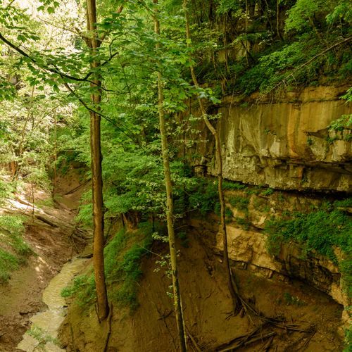
Anglers can go after bass, catfish, bluegill, crappie, perch, and muskellunge. Overnight paddlers can camp at Houchin Ferry Campground, which sits beside the river, or on islands and in the floodplain. Along the way, keep an eye out for wildlife, springs, and river bluffs.