Olympic National Park guide · 1 min read
73 Miles of Wild Coast and Tidepools
Olympic National Park protects 65 miles of wild Pacific shoreline, one of the longest undeveloped coasts in the lower 48 states.
Rough seas and a hazardous shore helped keep it unbuilt, and in 1988 Congress made much of it part of the Olympic Wilderness. Local tribes have lived here for generations.
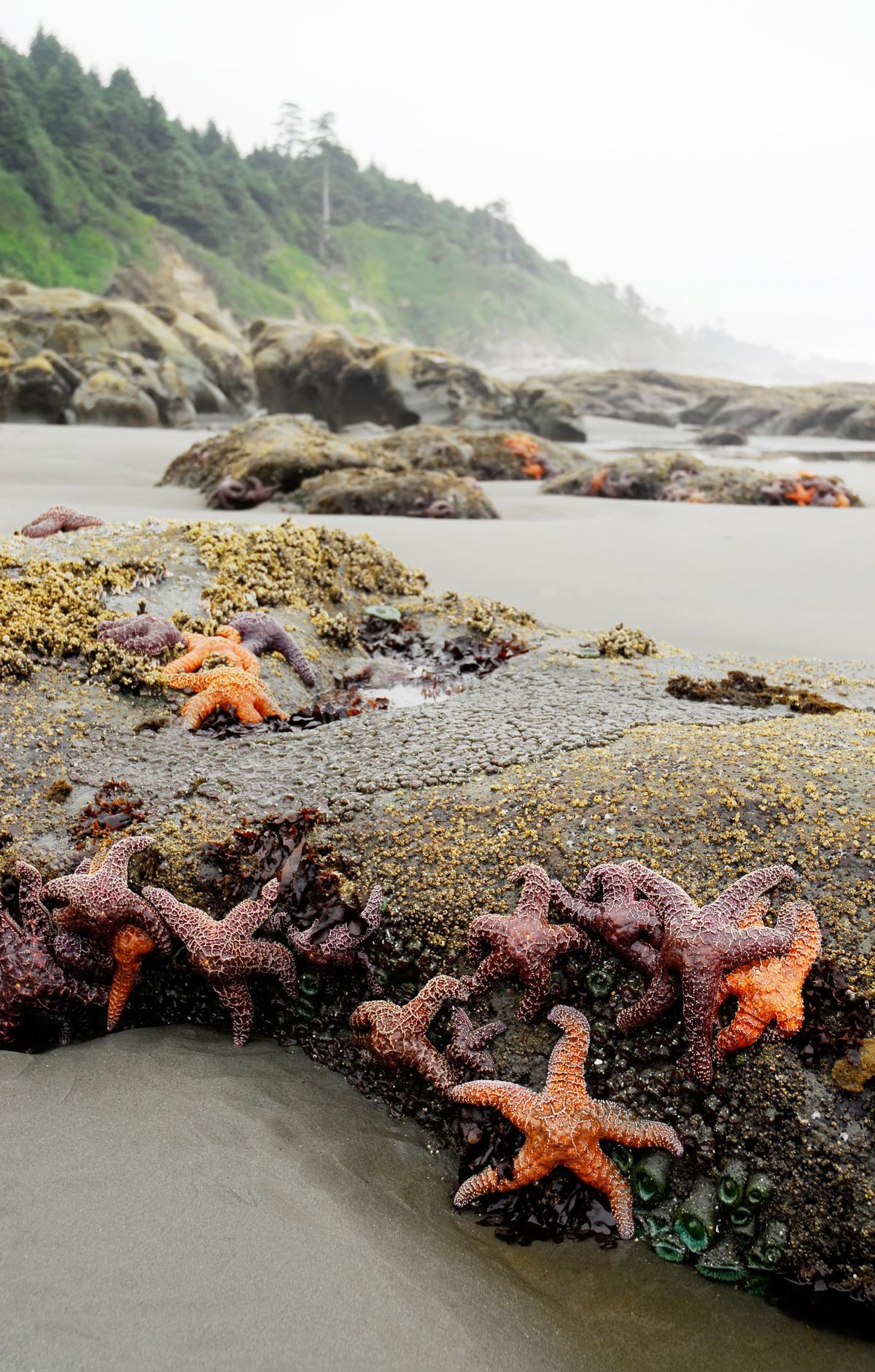
At low tide, rocky shelves between the beaches reveal pools crowded with life. A patch no bigger than a dinner plate can hold hundreds of animals. Cold, nutrient-rich water rising from the ocean floor feeds a food web that runs from tiny invertebrates up to whales.
Tall headlands frame the shore, and sea stacks and islands stand offshore, some capped with wind-shaped trees. Common murres and tufted puffins nest in large colonies on these rocks, while seals and sea lions haul out below. Otters, eagles and whales also make their home here. Ruby Beach, an easy walk from the highway, looks out at Abbey Island and its sea stacks. At Rialto Beach near Forks, giant drift logs line the shore, and a walk north leads to the rock arch called Hole-in-the-Wall.
Coastal backpacking lets you hike continuously from the Hoh River north to Shi Shi Beach on the Makah Indian Reservation, though some rocky points can only be rounded at low tide. The South Coast Route covers 17 miles one way with about 2,000 feet of climbing, and the North Coast Route runs 30 miles with little elevation change. Bring a tide chart and a topographic map, store food in bear canisters, and boil or filter all water.
For a shorter trip, the 9.4-mile Ozette Loop follows a 3-mile boardwalk through coastal forest to Cape Alava. From there, walk south to the petroglyphs at Wedding Rocks, then return through the forest on the Sand Point Trail.