Olympic National Park guide · 1 min read
How Colliding Plates Shaped Olympic's Landscape
The geology of the Olympic Mountains begins on the ocean floor. Roughly 50 million years ago, undersea eruptions along the edge of the continent stacked up basalt in layers miles thick.
Sandstone and shale then collected in a huge submerged delta farther offshore. As the Juan de Fuca Plate sank beneath North America, that seafloor rock jammed under the basalt, and the uplift raised the whole mix of basalt and seafloor rock above the waves 10 to 20 million years ago.
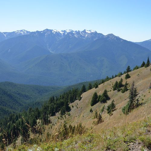
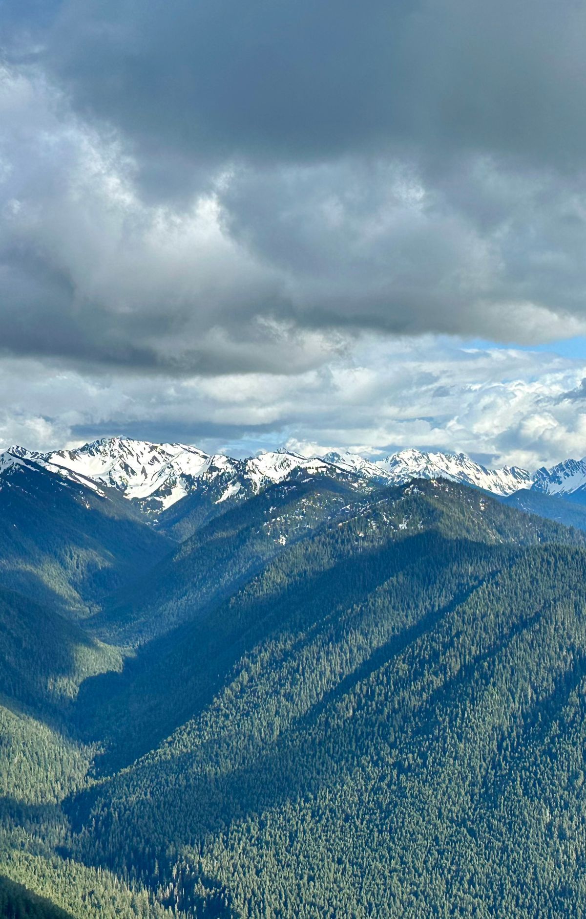
Because of that origin, the Olympics are not volcanic like the nearby Cascades. They are a tangle of folded sedimentary and metamorphic rock mixed with old ocean basalt. Mount Olympus, the tallest summit in the range, dominates the western half, and the Pacific lies less than 33 miles to its west. Ridges and valleys radiate outward from the high country like wheel spokes.
Ice did the finishing work. Glaciers carved broad, U-shaped valleys, and during the ice ages they helped cut the Strait of Juan de Fuca and Puget Sound. Heavy snow on Mount Olympus feeds several glaciers, among them Blue Glacier, the largest in the park. Since 1919, Blue Glacier has retreated more than a third of a mile. In 1982 the park counted 266 glaciers, and only 184 remained by 2009.
Those new waterways left the peninsula isolated from neighboring land, and that isolation fostered rich biodiversity. More than 20 plants and animals here exist nowhere else on Earth, and most of them live in the high country. Above treeline, subalpine meadows bloom with brightly colored wildflowers among lakes and rocky, glacier-capped peaks.
Many first-time visitors head to Hurricane Ridge to see this landscape up close. Hiking up to the alpine peaks opens wide views across the Olympic Mountains, a range lifted from the ocean floor.