Olympic National Park guide · 2 min read
Driving the Peninsula Loop Between Park Regions
Olympic's regions are not linked by a single road. The Olympic Mountains fill the middle of the peninsula, so moving from one area to another means driving around them on Highway 101.
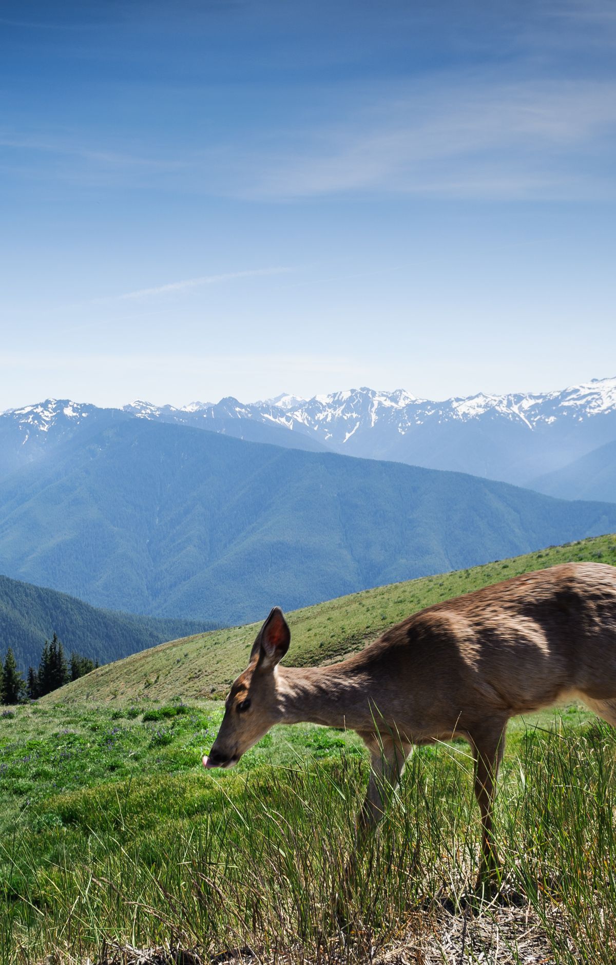
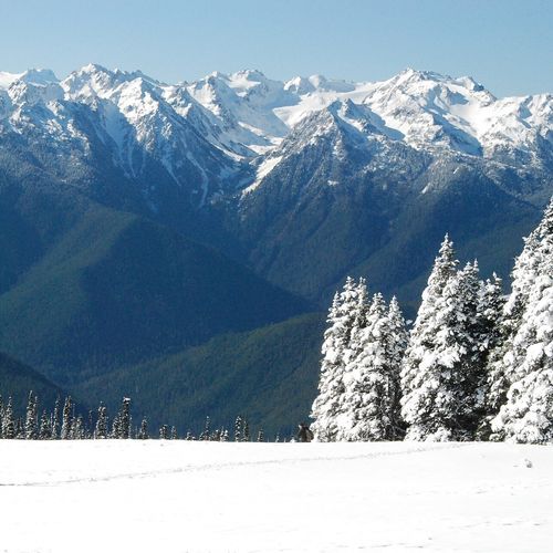
Hurricane Ridge and the Hoh Rain Forest, for example, sit too far apart by road to enjoy both comfortably in one day, so it works best to give each region its own day.
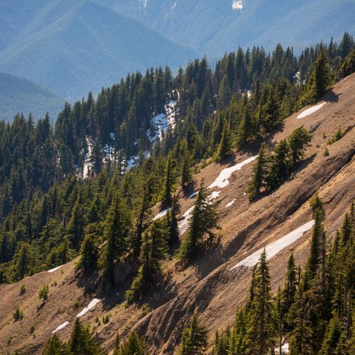
Port Angeles, or a spot near Lake Crescent, makes a practical base for Hurricane Ridge and the waterfalls of Sol Duc. The Olympic National Park Visitor Center sits at 3002 Mount Angeles Road, on the way up to Hurricane Ridge, with exhibits, an orientation movie, nature trails and a children's Discovery Room. From the Hurricane Ridge parking lot, the gravel Obstruction Point Road climbs to 6,150 feet. It is narrow, with tight turns and steep drop-offs in places. A standard car can handle it, but trailers are not allowed.
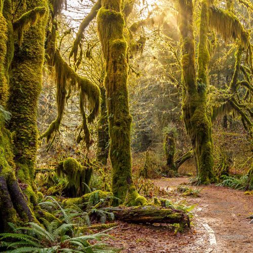
On the west side, Forks is the base for the Hoh Rain Forest and the coast. The Olympic National Park and Forest Recreation Information Center on Highway 101 in Forks also has park information. Farther south, the Quinault Valley is about an hour from Forks and roughly three hours from Port Angeles. It has a scenic loop drive and short rain forest trails, and Kalaloch on the coast is 33 miles, about 45 minutes, away.
Many visitors reach the peninsula on Washington State Ferries. From Port Townsend, State Route 20 leads to Highway 101. From Kingston, take State Route 104. From Bainbridge Island, follow State Routes 305, 7 and 104. The Coho Ferry also links Port Angeles with Victoria.
Conditions on the peninsula's roads can change, so check them before you set out. The park runs a dedicated road and weather information line, separate from its general information number, and it is worth a call before any long drive between regions.