Olympic National Park guide · 1 min read
Eight Tribes of Olympic, from Hoh to Klallam
Eight American Indian tribes call the Olympic Peninsula home. Long before any road crossed this land, they built complex hunter-gatherer societies.
Those traditions did not end with history. The tribes still carry them forward today.
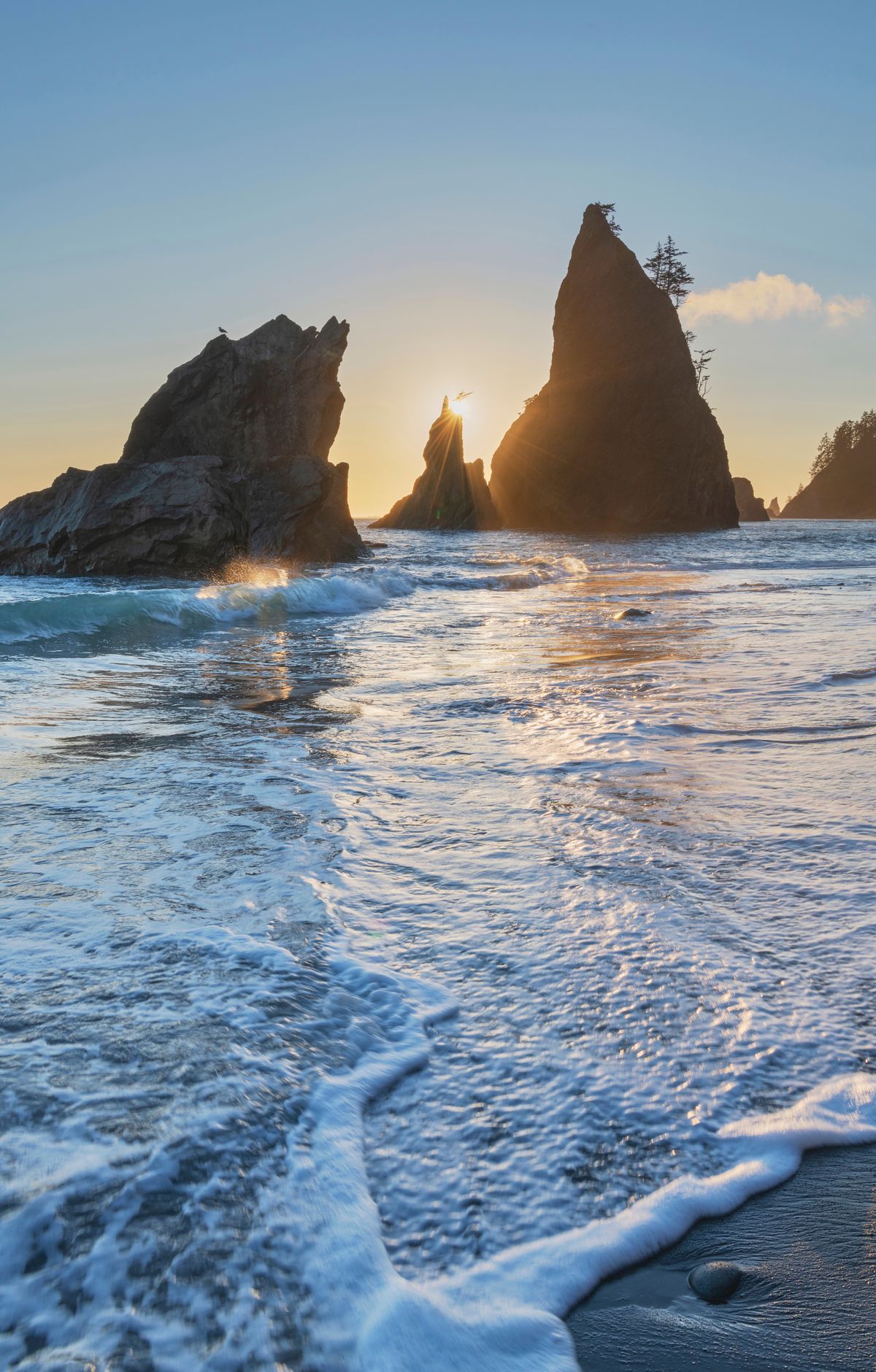
The clearest place to see this on a map is the western edge of the peninsula. At Cape Flattery, the northwest point, sits the Makah Indian Reservation. South of it, the park protects a 73-mile strip of wilderness coastline with Ozette Lake near its north end and dozens of beaches. Small pieces of Quileute and Hoh reservation land sit along this same shore, next to the park's coastal strip.
Inland, the rivers that reach that coast run through some of the park's best temperate rain forest. The Hoh, Queets, Bogachiel and Quinault valleys all sit on the west side. The Queets was protected so that almost an entire rain forest valley, carved by glaciers, would stay whole from the river's headwaters down to the ocean. On the northern peninsula, the Elwha holds old growth forest of its own.
Newer chapters followed. European explorers reached the peninsula in the late 1700s, and homesteaders came after them. In the Quinault Valley, a 1.3-mile loop trail reaches the old Kestner homestead, and another path passes among stands of bigleaf maple. Protection for the Olympics came in two steps: national monument status in 1909, then national park status in 1938.