Olympic National Park guide · 2 min read
Exploring Hurricane Ridge
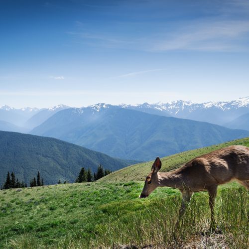
From the top of Hurricane Ridge, snow-capped peaks of the Olympic Mountains fill the horizon, with forested valleys below and Mount Olympus in view.
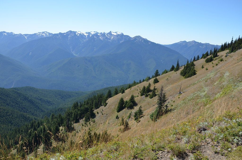
On clear days the panorama stretches north across the Strait of Juan de Fuca to Vancouver Island, and southeast as far as Mount Rainier. It is the most easily reached mountain area in Olympic National Park, and the views can be enjoyed in any season when the weather is clear.
Several trails begin right at the parking lot. The High Ridge Trail is a short walk on pavement that turns to dirt just before a viewpoint, and the scenery keeps improving the farther you go. For a bigger challenge, the Klahhane Ridge Trail climbs toward Mount Angeles. Other routes in the area range from easy self-guided nature trails to ridgetop traverses and steep paths dropping to subalpine lakes and valleys.
In winter, Hurricane Ridge becomes the park's center for snow recreation. Visitors come to snowshoe, cross-country and downhill ski, snowboard, sled and go tubing. Ranger-guided snowshoe walks are a popular way to learn about the ridge's winter environment, and when conditions allow, the Hurricane Ridge Winter Sports Club runs two rope tows and a Poma lift.
The paved Hurricane Ridge Road begins in Port Angeles and winds about 17 miles from the coastline up into the mountains, with views opening wider as you climb. It ends at a large parking lot beside the Hurricane Ridge Visitor Center, which has a snack bar and gift shop and hosts ranger-led programs. A picnic area sits nearby, and camping is available at Heart O' the Hills. Obstruction Point Road branches off just before the visitor center and leads to more trails.
In spring, wildflowers spread across the subalpine meadows, and black-tailed deer often graze in the open. Keep an eye on the rocks for marmots as well.