Olympic National Park guide · 2 min read
Elwha River: Largest Dam Removal in U.S. History
The Klallam people depended for millennia on fish that the Elwha River watershed sustained.
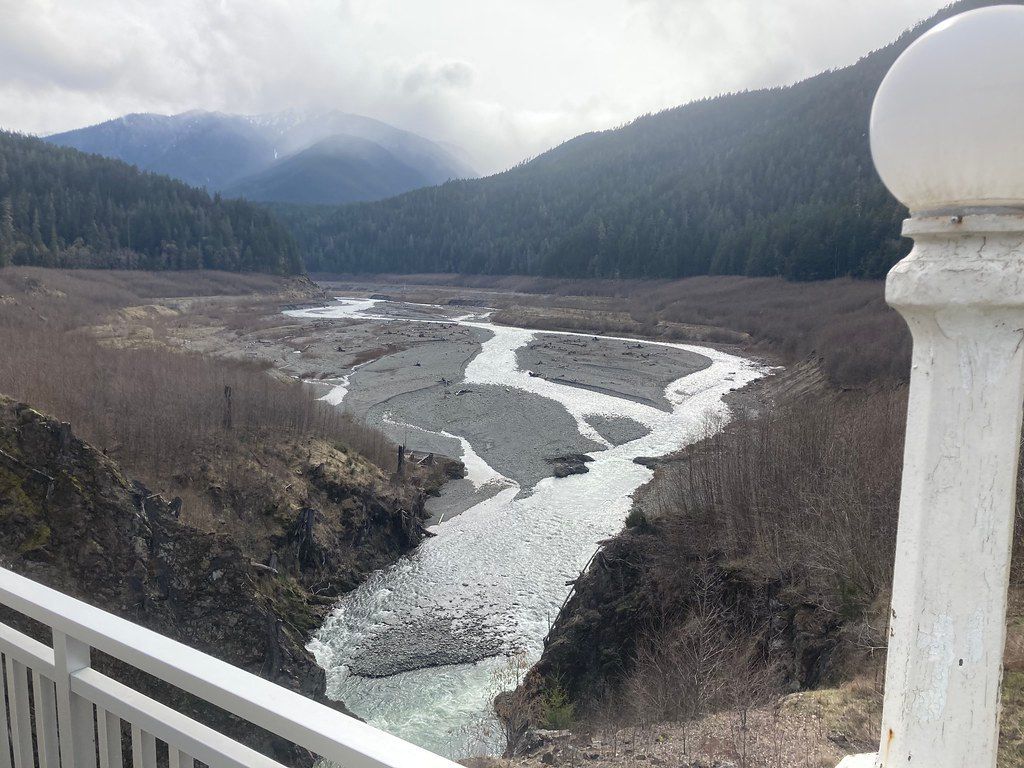
In 1913 the Elwha Dam went up five miles from the river mouth, cutting off fish runs and largely ending that relationship. Glines Canyon Dam was finished upstream in 1927. State law required fish passage, yet neither dam had it, and salmon and steelhead lost the upper 65 miles of river for more than 95 years.
Congress acted in 1992, passing a law that called for restoring the watershed and its fish and authorized taking down both dams. Crews removed the 108-foot Elwha Dam and the 210-foot Glines Canyon Dam, draining Lake Aldwell and Lake Mills, and the work was complete in 2014. Only the Everglades ranks above it among ecosystem restoration projects in National Park Service history. Within months, salmon were back, spawning inside park boundaries after a century away.
To see the change up close, hike to the Glines Canyon Spillway Overlook and learn more about the project. From there you can look over the former bed of Lake Mills. Revegetation crews planted the exposed slopes and river bottoms to hold back erosion and speed recovery, and nature has helped turn bare sediment green.
The Elwha Valley sits 11 miles west of Port Angeles, reached by the Olympic Hot Springs Road off Highway 101. That road and Whiskey Bend Road pass through lowland and montane forest, with two picnic areas and several trailheads. Madison Creek Falls is a short walk with views of the rushing river and poems posted along the way.
Paddlers find Class Two to Class Four water on the Elwha, with common put-ins in the lower part of Glines Canyon. Check river flows before launching, and stay well away from the former Elwha Dam site, where conditions are very dangerous. Camping in the backcountry on a paddling trip requires a wilderness use permit.