Rocky Mountain National Park guide · 2 min read
Trail Ridge Road: Driving Across the Tundra
Trail Ridge Road carries US Highway 34 for 48 miles across Rocky Mountain National Park, linking Estes Park on the east side with Grand Lake on the west.
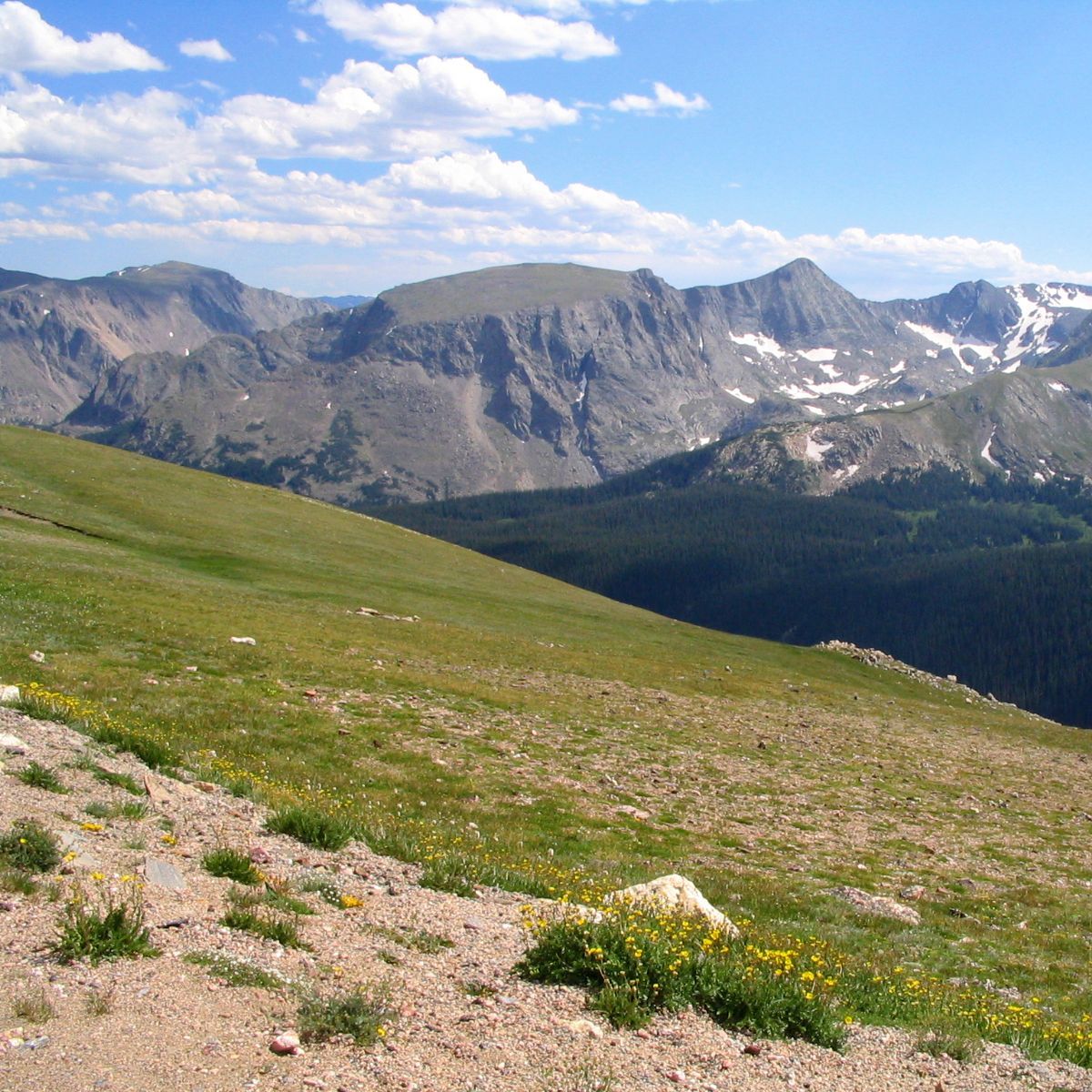
Nowhere else in the United States does a continuous paved road climb higher, and its top point sits at 12,183 feet. The first travelers drove it in 1932, a year after park service director Horace Albright predicted that motorists would see the Rockies spread out around them in every direction.
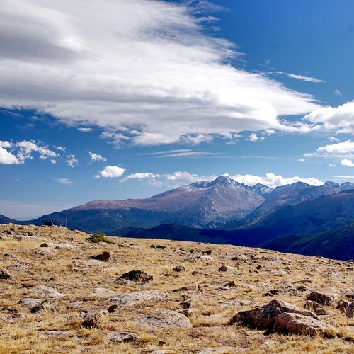
About 11 miles of the route run above treeline, close to 11,500 feet, where the evergreen forests stop and open alpine tundra takes over. Roughly a third of the park is this kind of high, treeless country, and temperatures fall as you climb into it. Many people feel short of breath up here, so take your time when you step out of the car.
Forest Canyon Overlook is one of the best stops along the way. From 11,716 feet, you look across a deep, forested canyon toward Longs Peak, Stones Peak, Hayden Gorge and the Gorge Lakes. The Alpine Visitor Center, also on the route, is the highest visitor center in the country. At Milner Pass, the road crosses the Continental Divide.
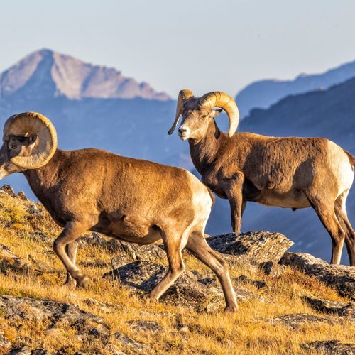
Watch for wildlife on every stretch. Elk and bighorn sheep are often seen near the road, and animals can step onto the pavement at any time, so drive carefully. The stone parapet walls and rustic structures you pass were built to blend with the surrounding mountains.
Trail Ridge Road was never meant to serve as a year-round highway. Guard rails are scarce along its high stretches, and there is no shoulder to pull onto. In winter, the country above 10,000 feet sees blowing snow, strong wind and temperatures that stay below freezing, so the drive over the top is a warm-season trip.