Yosemite National Park guide · 2 min read
Tuolumne Meadows and High-Country Domes
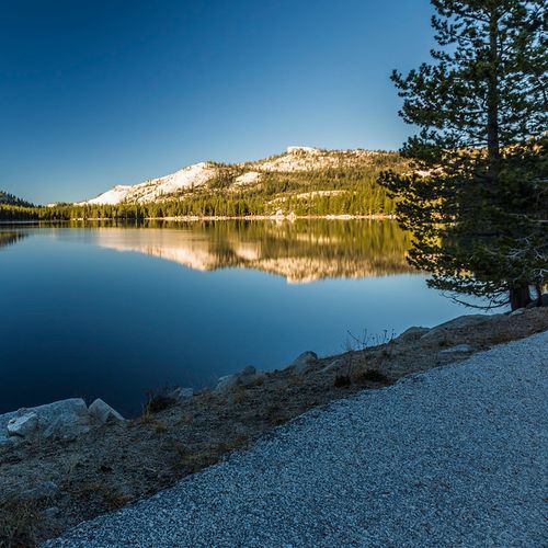
Tuolumne Meadows lies at 8,600 feet along the Tioga Road and ranks among the biggest high-elevation meadows anywhere in the Sierra Nevada.
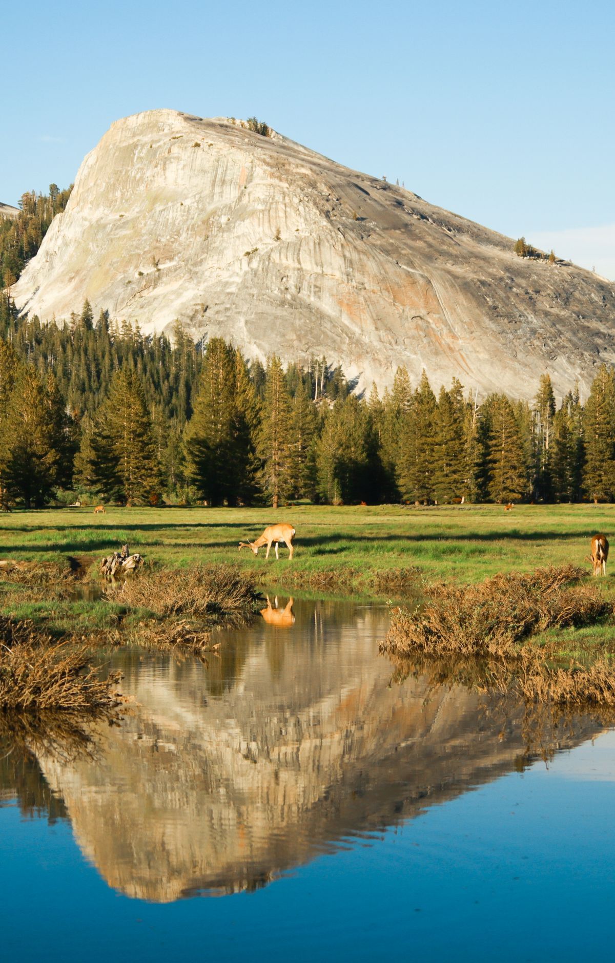
The Tuolumne River winds slowly through the grass, while glacier-carved domes and rugged peaks rise around the edges. Both the John Muir Trail and the Pacific Crest Trail pass through here.
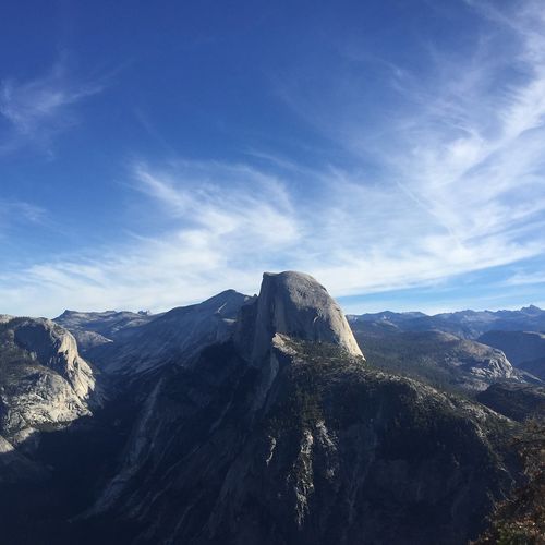
The drive up is part of the experience. Tioga Road, also called Highway 120 East, cuts across the park's high country from the east and west through forests, meadows, lakes and granite domes, with plenty of turnouts for taking in the view. Olmsted Point looks down toward Yosemite Valley. Farther east, Tioga Pass at 9,943 feet offers your only chance in the park of spotting endangered Sierra Nevada bighorn sheep.
Lembert Dome, at 9,455 feet, is a glacier-shaped rock that rises gently on one side and drops off steeply on the other. To reach the top, start at the Dog Lake and John Muir Trail parking area and climb hard for three quarters of a mile to a signed junction, then bear left. Going straight instead leads to Dog Lake, a 2.8-mile round trip that crosses the Tioga Road and ends at a high-country lake good for fishing and a picnic.
For an easier day hike, a 1.5-mile round trip from the Lembert Dome parking area follows a gravel road northwest to Soda Springs, where carbonated water bubbles up inside a log enclosure. Skip drinking it, since it may be contaminated. A bit farther on, the historic Parsons Memorial Lodge has exhibits. All around stand high peaks, including Mount Dana at 13,057 feet, Mount Conness and Cathedral Peak.
Tuolumne Meadows Campground is the largest in Yosemite, with 315 sites and some loops near the river. It sits about an hour and a half by car from Yosemite Valley, with a small store, grill and post office close by.