Great Smoky Mountains National Park guide · 1 min read
Newfound Gap Road: Gatlinburg to Cherokee
Newfound Gap Road, also called US Highway 441, crosses the Great Smoky Mountains for 33 miles between Gatlinburg, Tennessee, and Cherokee, North Carolina.

It runs north to south through the heart of the park, climbing over high mountaintops and passing through large stretches of forest. Expect steep grades and a few tunnels as the road winds up one side of the range and down the other.
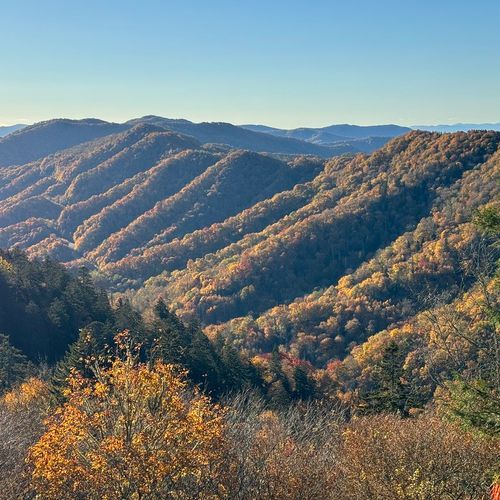
The high point of the drive is Newfound Gap, a mountain pass on the Tennessee and North Carolina state line. This high-elevation pass links the two halves of the park, and it makes a natural place to stop, stretch your legs and take in the long mountain views. The Appalachian Trail crosses the road here, so you can walk a short piece of it before driving on.
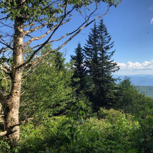
Near the gap, Kuwohi Road branches off toward Kuwohi, the peak once known as Clingmans Dome. At the top you'll find a small visitor center and a lookout tower with panoramic views. Trails in this high country, including the Appalachian Trail, wind through spruce-fir forest.
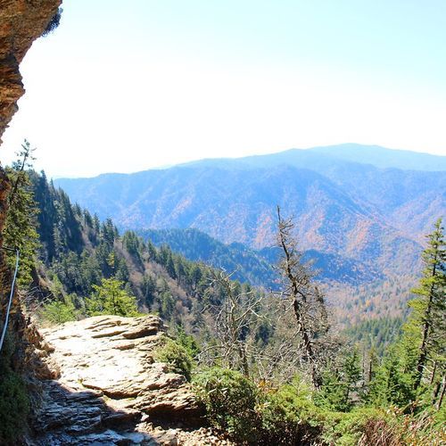
All along the route, pull-offs give you room to stop for different views. Morton Overlook sits close to a mile above sea level and is a good stop on the way up. On the Tennessee side, many pull-offs reach the West Prong of the Little Pigeon River, and on the North Carolina side, pull-offs give access to the Oconaluftee River.
Coming from Cherokee, Smokemont Campground is about 6 miles north on the road. From Gatlinburg, it's roughly 27 miles south.