Great Smoky Mountains National Park guide · 2 min read
Laurel, Abrams and Grotto Falls
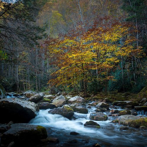
Water is everywhere in the Smokies, and two conditions explain why: plenty of rain and a steep drop in elevation.
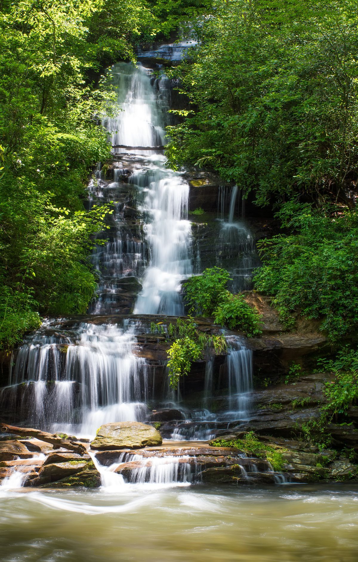
The high country averages more than 85 inches of rain a year, and peaks like Mount LeConte and Kuwohi can top eight feet. As that water makes its way toward the foothills, it can lose more than a mile of elevation along the way. The result is that almost every creek and river here has a waterfall somewhere along its course, which makes waterfall hiking one of the classic ways to spend a day in the park.
Laurel Falls is among the best known. The trail is closed for rehabilitation work, so check its status before you plan around it. When open, it covers 2.6 miles round trip through mixed hardwood forest to an 80-foot waterfall, where a walkway crosses the stream between the upper and lower sections. Some stretches of the old pavement are broken up, and steep drop-offs along the way mean young children should stay close.
The trail takes its name from mountain laurel, an evergreen shrub that blooms in May. Thick stands of laurel and rhododendron line the path, with views of the surrounding mountains on the climb. The trailhead sits on Little River Road, 3 miles west of Sugarlands Visitor Center.
Grotto Falls makes a good alternative, a 4-mile round trip through the forest. Its main draw is simple: the trail passes behind the falling water, so you can stand behind the waterfall itself.
Abrams, Grotto, Laurel and Rainbow Falls rank among the busiest hikes in the park, and together these waterfall trails see more than 200,000 visitors a year. Expect crowded paths and full parking lots, and consider a shuttle where one serves the trailhead. A quieter stream often rewards you just as well, so carry an official trail map and explore beyond the famous names.