Great Smoky Mountains National Park guide · 2 min read
Hiking the Appalachian Trail in the Park
Roughly 71.6 miles of the Appalachian Trail run through Great Smoky Mountains National Park, linking Fontana Dam with Davenport Gap.
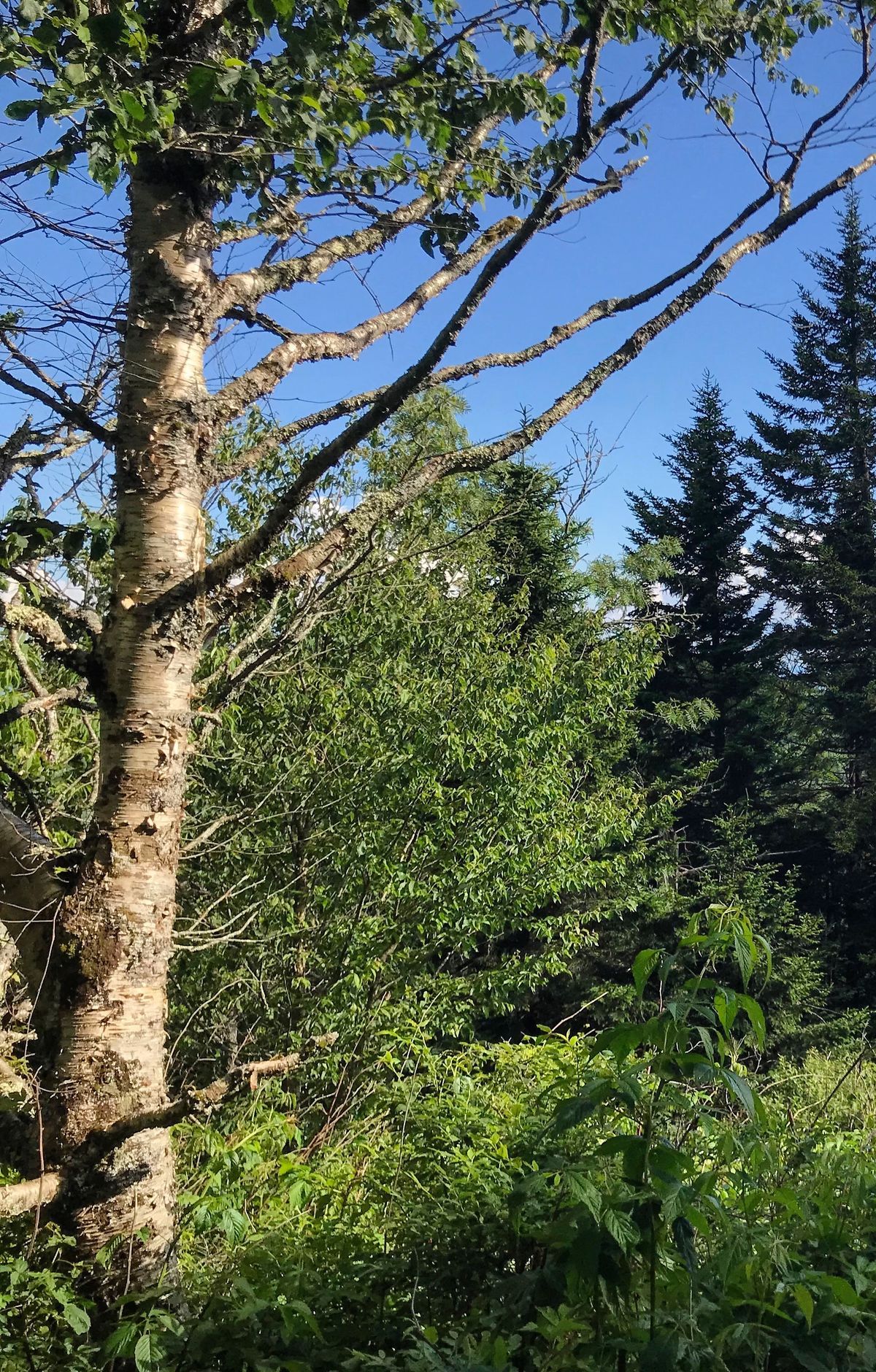
Coming from Fontana, hikers cross the top of the dam to enter the park, then climb a long ridge to Brier Lick Knob on the Tennessee and North Carolina line. From there the trail keeps to the high crest, tracing the state border most of the way, and only rarely falls below 5,000 feet.
At 6,643 feet, Kuwohi, once called Clingmans Dome, marks the high point of the entire Appalachian Trail, as well as of the park and the state of Tennessee. Along the ridge, the trail also passes over Thunderhead Mountain, Silers Bald, Mount Collins, Mount Kephart, Mount Guyot and Mount Cammerer.
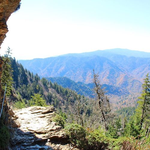
Charlies Bunion ranks among the most popular outings. Start at Newfound Gap Overlook on Newfound Gap Road, or take a shuttle; the Appalachian Trail leaves from the far left end of the parking area. Over 8 miles out and back, you move from hardwoods into the spruce and fir that grow higher up. The wide, hard-packed path tightens as it rises to Mount Ambler, then drops to Masa Knob and the rocky Charlies Bunion, a perch ringed by sheer cliffs with long views across the mountains.
Time on the trail can be as short as a couple of hours or as long as several days. Backpackers on longer trips often stay at the twelve shelters along the park's stretch of the trail.
Nature sets trail conditions in the backcountry, so be ready for high streams, missing bridges, fallen trees and worn-away tread. Watch your footing near the open cliffs at Charlies Bunion. In cold weather, ice is possible, and slip-on microspikes give your shoes better grip. Even a modest distance can take longer than expected here, so bring a park trail map and factor elevation gain into your plans.