Mount Rainier National Park guide · 2 min read
Carbon River and Mowich Lake: The Quiet Northwest
Old-growth forest and inland temperate rain forest fill the Carbon River area in the far northwest of the park.
Right opposite the Carbon River Entrance Station, a short loop of three-tenths of a mile winds through a good sample of that damp, mossy rain forest. From the entrance, the Carbon River Trail follows a former road east along the valley.
Green Lake Trail leaves the Carbon River Trail and heads uphill to the south, ending at a small lake, with a cascading waterfall and tall trees along the way. It is a less busy route, which adds to the quiet of this corner. The Carbon Glacier Trail follows the Carbon River Trail to Ipsut Creek Campground, where a trail connects to the Wonderland Trail.
Crossing the Carbon River on the Wonderland Trail leads to a viewpoint over the terminus of the Carbon Glacier. That glacier has the lowest elevation of any in the lower 48 states and feeds the Carbon River. Falling rock and ice are common near it, so give it plenty of room. Past the viewpoint, Moraine Park offers marmots, pikas and wildflowers, along with views of the mountain's north side.
Mowich is the park's biggest and deepest lake. It sits in a glacial basin, with delicate wildflower meadows around its edges. Fishing is allowed on the lake, and so is boating in non-motorized craft such as canoes and kayaks. To reach it, take State Route 165, and beyond the first three miles the road is unpaved and can be rough with potholes. Keep to the trails, because those meadows are easily damaged.
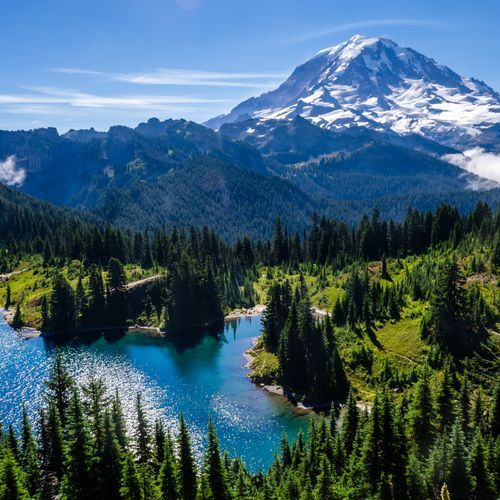
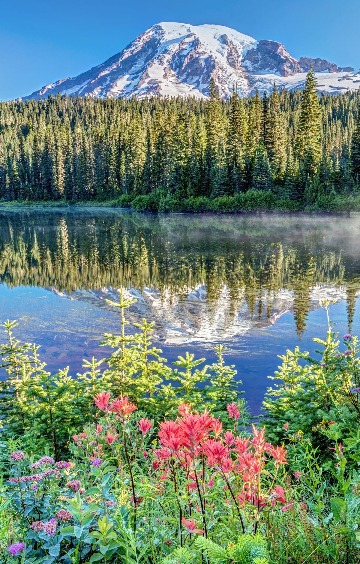
The Tolmie Peak Lookout Trail begins at Mowich Lake and heads north to Eunice Lake, where on calm days the water mirrors Mount Rainier. From there the path ascends a ridge of old lava to a fire lookout that the Civilian Conservation Corps built in 1933. Expect about 5.6 miles of trail and roughly 1,600 feet of uphill.