Mount Rainier National Park guide · 1 min read
Sunrise and the Mount Fremont Fire Lookout
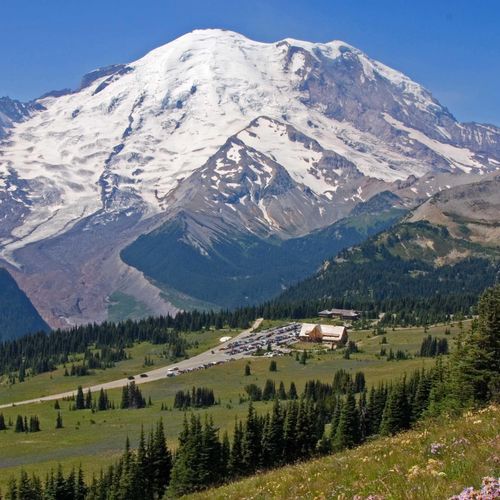
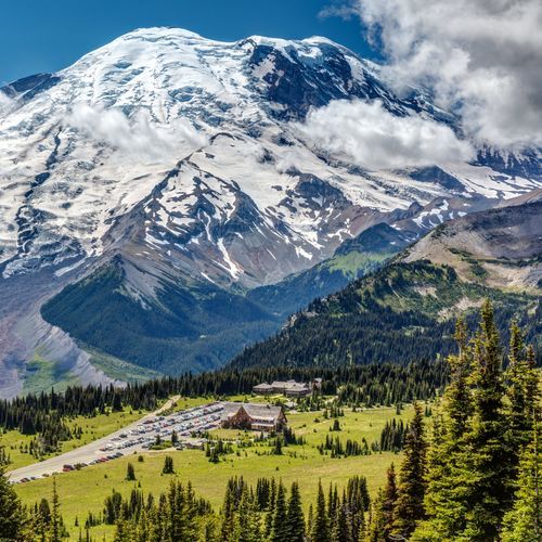
Sunrise sits at 6,400 feet, making it the highest spot in Mount Rainier National Park that cars can reach.
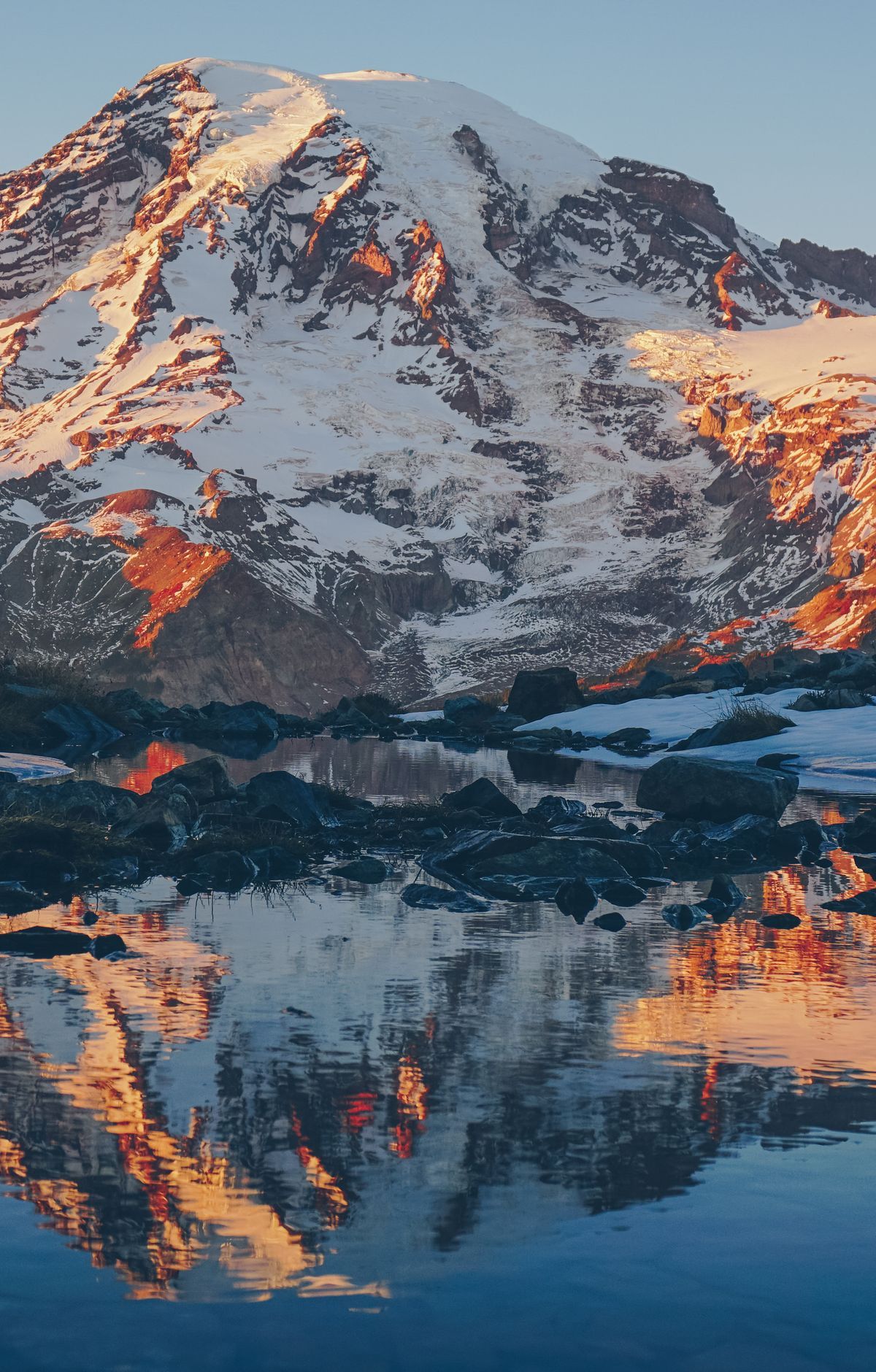
Drivers leave State Route 410 at the Sunrise/White River turnoff, near the White River entrance, and continue 14 miles northwest to reach the lodge and visitor center in the park's northeastern section. The Sunrise Visitor Center holds exhibits, and you can buy books and maps there or ask questions of rangers and volunteers.
The Mount Fremont Lookout Trail starts near the Sunrise Visitor Center. From there, it shares the Sourdough Ridge Trail for a stretch before splitting off toward the historic lookout. The round trip covers about 6 miles, with roughly 1,200 feet of total climbing. Allow between 2.5 and 5 hours, and expect a moderate hike with a gradual climb.
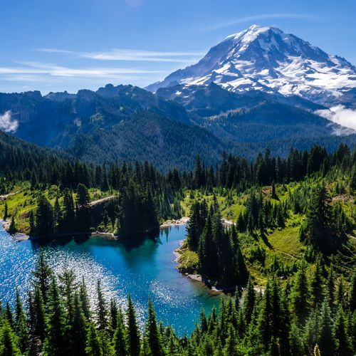
The Mount Fremont Fire Lookout is one of the park's four historic lookouts, perched on a ridge with views all around. Standing there, you can see Mount Rainier at close range. On clear days, distant peaks like Mount Baker and Glacier Peak come into view. Visitors often spot marmots and mountain goats along the route.
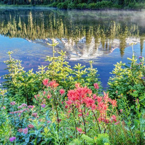
The lookout is not the only reason to come up here. From Sunrise Point, the view wraps nearly all the way around, taking in the valleys below, Mount Rainier, and Cascade volcanoes like Mount Adams. Clear summer days reveal Emmons Glacier, and the subalpine meadows fill with wildflowers.