
Zion National Park guides
12 in-depth guides to Zion National Park, in reading order: what to see, how to get around, and what to know before you go. Back to the Zion National Park overview.
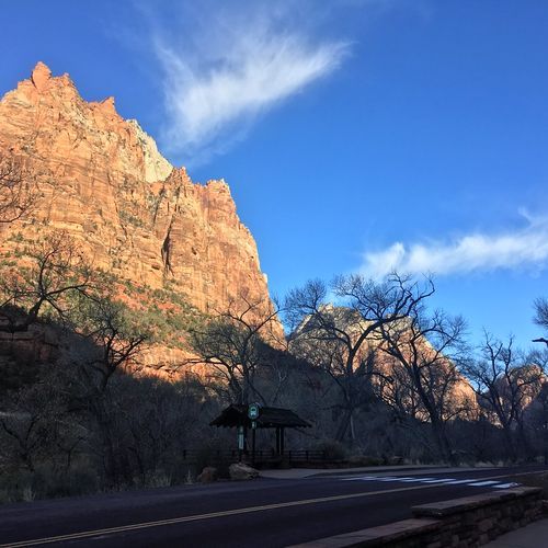
Riding the Zion Canyon Scenic Drive Shuttle
Zion Canyon Scenic Drive runs north from Canyon Junction through the heart of Zion Canyon, ending at the Temple of Sinawava along the Virgin River.
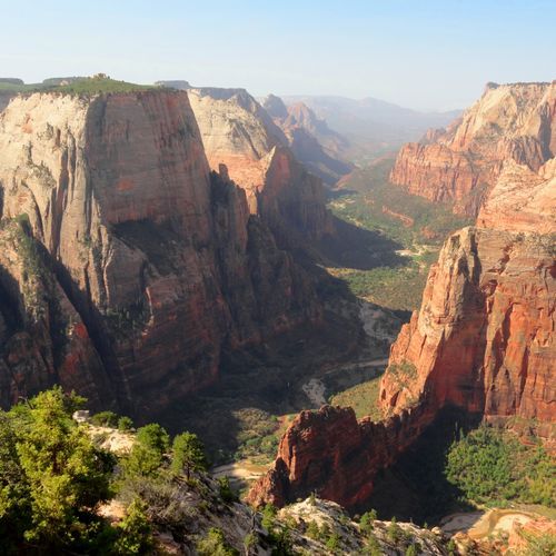
Zion Seasons: 100°F Summers, Monsoon Flash Floods
Summer temperatures in Zion regularly climb past 100 degrees Fahrenheit. Elevation shapes the heat, and the gap between daytime and nighttime readings can top 30 degrees.
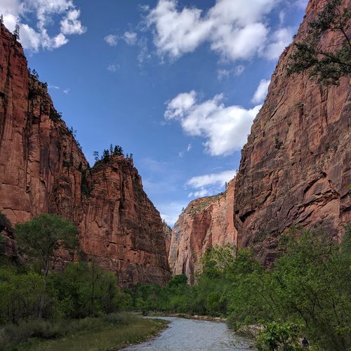
Walking the Floor Beneath Zion's Walls
In much of the Southwest, you stand on a rim and peer down into a canyon. Zion works the other way around.
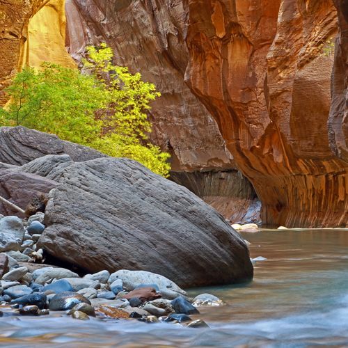
Wading the Zion Narrows of the Virgin River
The North Fork of the Virgin River has cut the Zion Narrows, a gorge 16 miles long that pinches down to about 30 feet wide in places.
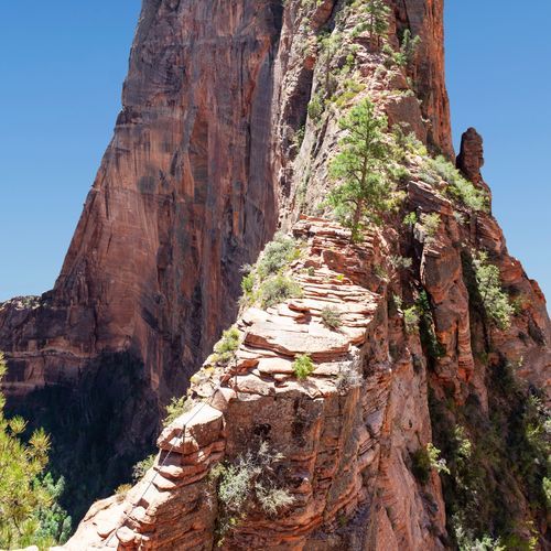
Angels Landing and Scout Lookout
Angels Landing is one of the most popular hikes in Zion National Park, a strenuous 5.4-mile round trip with about 1,500 feet of elevation gain.
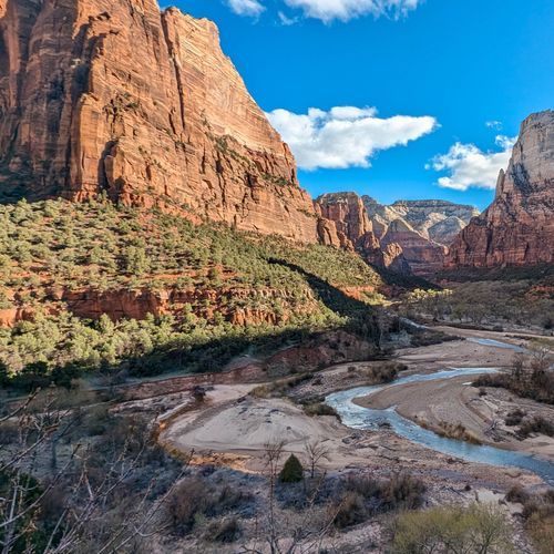
Stargazing from the Pa'rus Trail and Checkerboard Mesa
Zion is an International Dark Sky Park, so the park keeps artificial light to a minimum to protect the night sky.
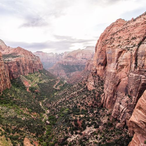
Reading the Grand Staircase in Zion's Cliffs
The rock walls of Zion belong to a much larger sequence called the Grand Staircase. Nine geologic formations are exposed inside the park, and together they record roughly 150 million years of sediment piling up, most of it during the Mesozoic era.
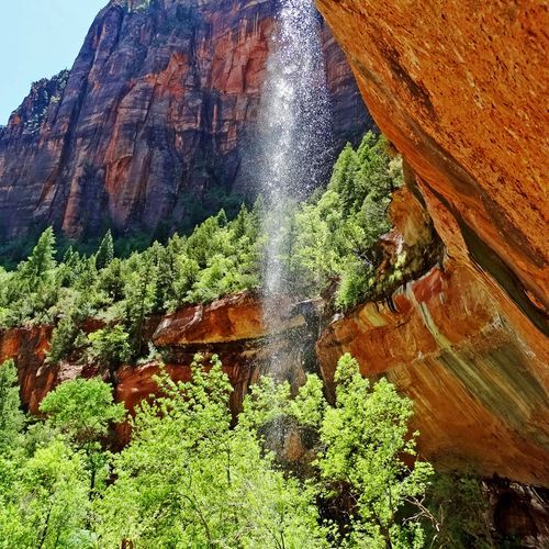
Weeping Rock and Zion's Hanging Gardens
Weeping Rock is a broad rock alcove in Zion Canyon where water seeps straight out of the sandstone and drips from the overhang above.
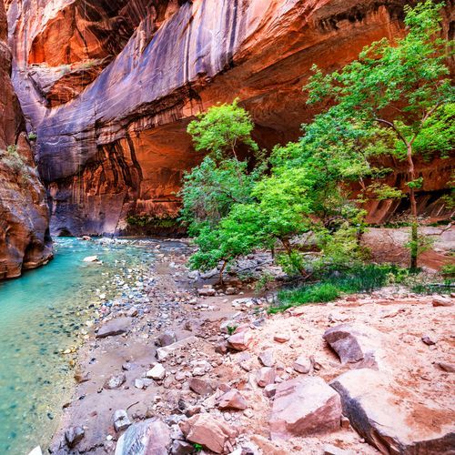
Mukuntuweap: Zion Through Paiute Eyes
Long before maps called it Zion, the Paiute people called this canyon Mukuntuweap, which means "straight up land."
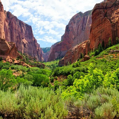
Mule Deer to Mountain Lions: Zion's Wildlife
Three great regions of the American West meet at Zion: the Great Basin, the Mojave Desert and the Colorado Plateau all come together here and in the Kolob Canyons.
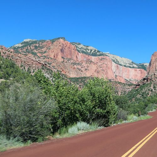
Kolob Canyons' Five-Mile Crimson Drive
Kolob Canyons Road runs five miles from Exit 40 on Interstate 15 into the northwest corner of Zion National Park.
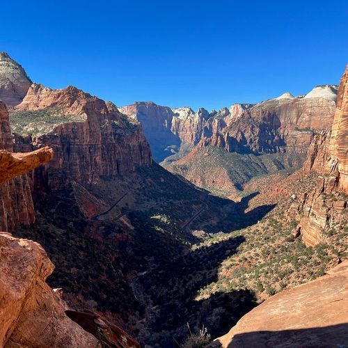
Zion–Mount Carmel Highway to the East Rim
Utah State Route 9, called the Zion-Mount Carmel Highway inside the park, covers about 12 miles between the south entrance near Springdale and the East Entrance.
