Zion National Park guide · 2 min read
Kolob Canyons' Five-Mile Crimson Drive
Kolob Canyons Road runs five miles from Exit 40 on Interstate 15 into the northwest corner of Zion National Park.
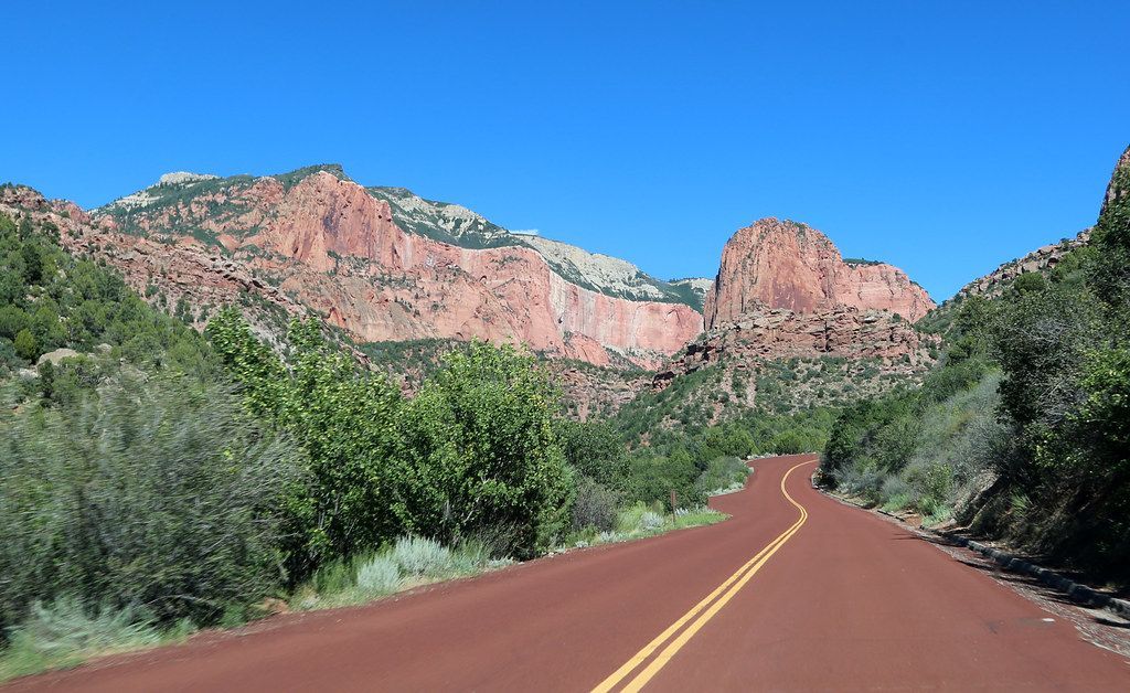
The district sits 40 miles north of Zion Canyon and 17 miles south of Cedar City, and no road connects it to the park's southern sections. Viewpoints along the drive let you take in the scenery without hiking.
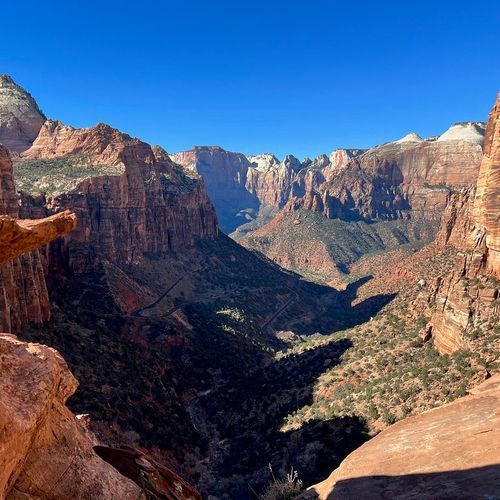
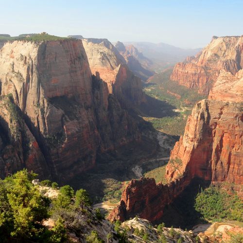
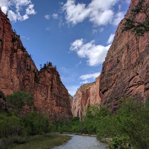
The crimson walls are narrow box canyons lying side by side, carved into the western edge of the Colorado Plateau. Their cliffs rise 2,000 feet and climb into sharp peaks above the road.
Water is available at the Kolob Canyons Visitor Center, and there is no shuttle here. Two miles east, the Taylor Creek Trail traces the Middle Fork of Taylor Creek, passing two homestead cabins on the way to a double arch alcove, five miles round trip. Rattlesnakes are common there, so keep children close. At the end of the road, the easy Timber Creek Overlook Trail leaves the picnic area for a one-mile round trip on a wooded ridgetop, ending at a small peak that looks over Timber Creek, Kolob Terrace and the Pine Valley Mountains.
Lee Pass, four miles up the road from the visitor center, is the start of the La Verkin Creek Trail. It runs along Timber Creek, drops to La Verkin Creek, then heads upstream beneath tall cliffs. After seven miles, a spur leads to a view of Kolob Arch, which spans 287 feet and is 75 feet thick, one of the largest natural arches in the world. The fourteen-mile round trip is strenuous and takes seven to nine hours as a day hike.
Many hikers turn the route into a backpacking trip in the Zion Wilderness, continuing up canyon toward Bear Trap Canyon and Willis Canyon. Camping is allowed in designated sites only, and Beatty Spring is a water source along the way.