Zion National Park guide · 2 min read
Zion–Mount Carmel Highway to the East Rim
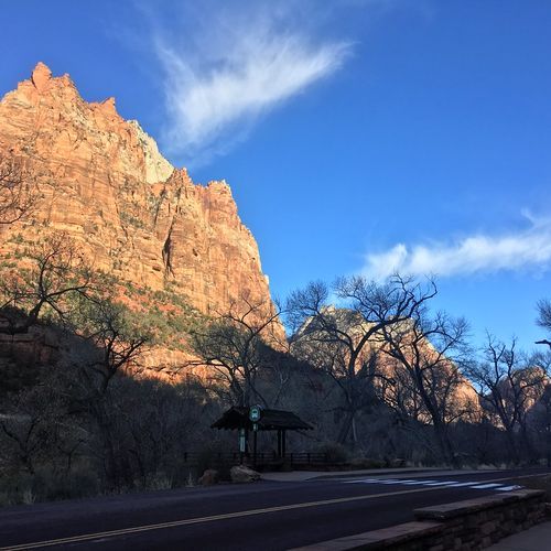
Utah State Route 9, called the Zion-Mount Carmel Highway inside the park, covers about 12 miles between the south entrance near Springdale and the East Entrance.
Most of the year, the Zion Canyon Scenic Drive is served by shuttle buses, but this road stays open to private vehicles all year. With no stops, the drive takes roughly 30 minutes. That estimate leaves no time for traffic, photos or hikes.
Heading east from Canyon Junction Bridge, the road climbs into the mountains on a series of tight switchbacks. A few turnouts along the way give you a safe place to pull over for photos. Beyond the switchbacks sits the Zion-Mount Carmel Tunnel, built between 1927 and 1930 to cut travel time between Springdale and towns east of the park. Expect a dark, narrow passage, and allow for backups around midday.
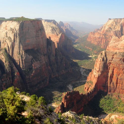
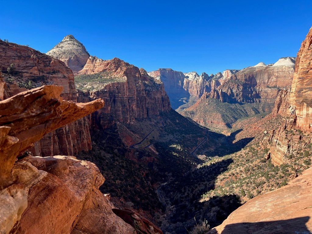
The Canyon Overlook Trail begins near the tunnel's east entrance. It is 1 mile round trip with about 163 feet of elevation change, and most hikers finish in around an hour. The rocky, uneven path follows ledges with long drop-offs, mostly fenced, and crosses a bridge. It ends at a viewpoint above Pine Creek Canyon and lower Zion Canyon. Parking here is very tight, so be ready to circle back more than once.
Checkerboard Mesa shows a grid of crisscrossing lines that wind and water have cut into the rock. It ranks among the most distinctive formations in the park.
For a longer outing, the East Rim Trail starts about 100 feet west of the East Entrance station. It climbs onto a plateau ringed by sandstone cliffs, then passes through ponderosa forest to Stave Spring. That stretch is 5.9 miles one way with about 1,000 feet of elevation change. Rockfall has cut the trail off from the trails in Zion Canyon.